MyTopo
Nacogdoches North Texas US Topo Map
Couldn't load pickup availability
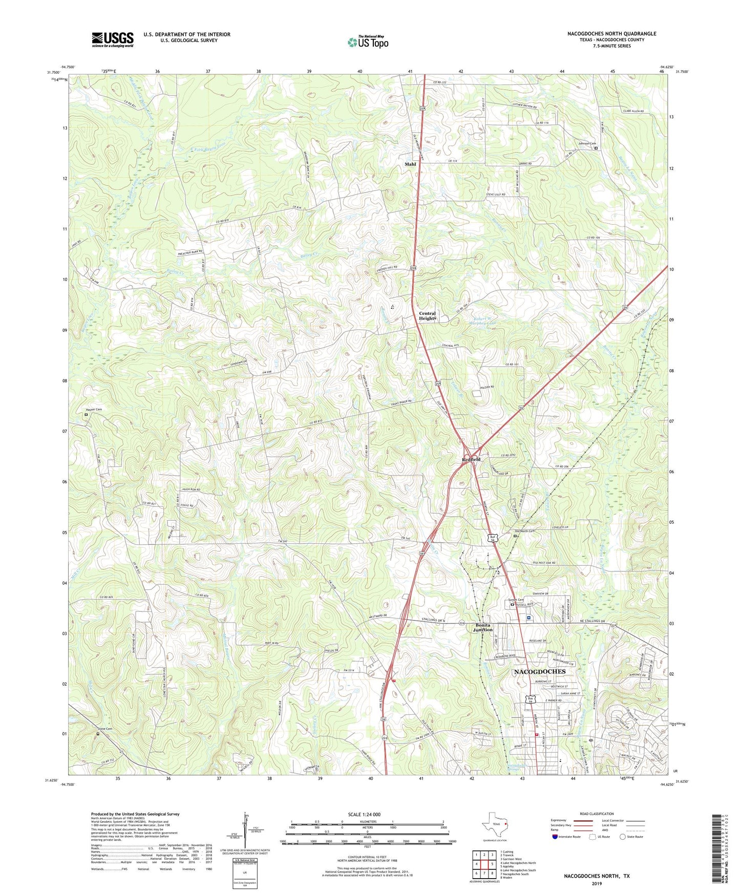
2022 topographic map quadrangle Nacogdoches North in the state of Texas. Scale: 1:24000. Based on the newly updated USGS 7.5' US Topo map series, this map is in the following counties: Nacogdoches. The map contains contour data, water features, and other items you are used to seeing on USGS maps, but also has updated roads and other features. This is the next generation of topographic maps. Printed on high-quality waterproof paper with UV fade-resistant inks.
Quads adjacent to this one:
West: Lake Nacogdoches North
Northwest: Cushing
North: Trawick
Northeast: Garrison West
East: Appleby
Southeast: Woden
South: Nacogdoches South
Southwest: Lake Nacogdoches South
This map covers the same area as the classic USGS quad with code o31094f6.
Contains the following named places: Bailey Creek, Banita Creek, Bonita Creek, Bonita Junction, Central Heights, Central Heights Elementary School, Central Heights School, Dragon Stadium, Earnest L Johnson Dam, Earnest L Johnson Lake, East Fork Bayou Loco, Hayter Cemetery, Homer Bryce Stadium, Jerry W Allen Dam, Jerry W Allen Lake, Johnson Cemetery, Johnson Chapel, KSAU-FM (Nacogdoches), KTBQ-FM (Nacogdoches), Lily Grove Church, Lone Star Church, Mahl, Middle Fork Bayou Loco, Millards Crossing, Mount Zion Church, Nacogdoches County Constable's Office Precinct 1, Nacogdoches County Emergency Medical Service, Nacogdoches Fire Department Station 1, Nacogdoches Medical Center, Nacogdoches Post Office, Nacogdoches Springs, North Redland, Old North Cemetery, Old North Church, Raguet Elementary School, Redfield, Redfield Census Designated Place, Redfield Station, Robert W Murphey Dam, Robert W Murphey Lake, Rock Springs Church, Saint James Church, Saint Matthew Church, Sandy Ridge Church, Stephen F Austin University Intramural Fields, Stone Cemetery, Sunset Cemetery, Texas Forest Service Nacogdoches Office, Toliver Branch, Union Cross Church, William R Johnson Coliseum, ZIP Codes: 75964, 75965


