MyTopo
Worsham Texas US Topo Map
Couldn't load pickup availability
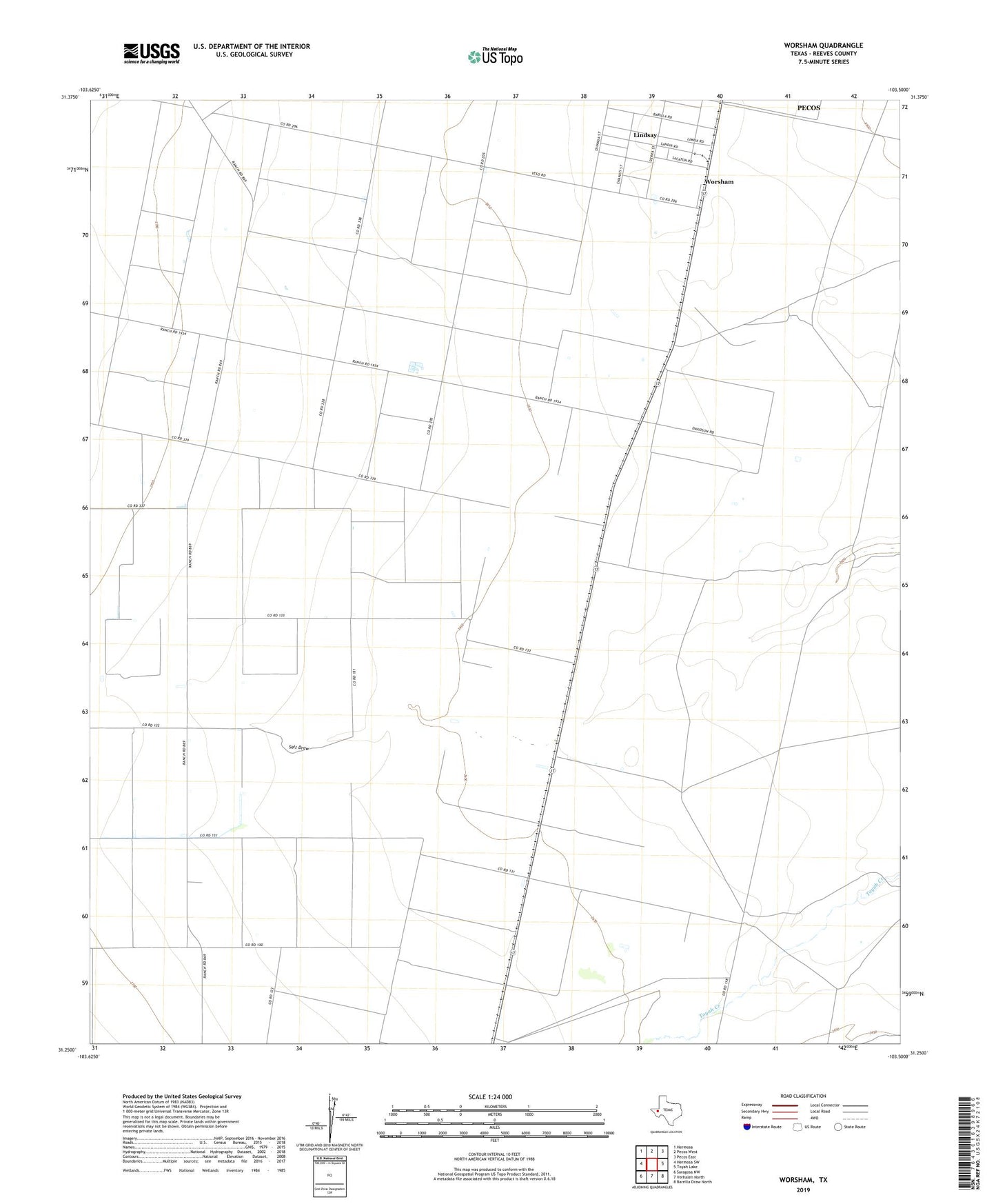
2019 topographic map quadrangle Worsham in the state of Texas. Scale: 1:24000. Based on the newly updated USGS 7.5' US Topo map series, this map is in the following counties: Reeves. The map contains contour data, water features, and other items you are used to seeing on USGS maps, but also has updated roads and other features. This is the next generation of topographic maps. Printed on high-quality waterproof paper with UV fade-resistant inks.
Quads adjacent to this one:
West: Hermosa SW
Northwest: Hermosa
North: Pecos West
Northeast: Pecos East
East: Toyah Lake
Southeast: Barrilla Draw North
South: Verhalen North
Southwest: Saragosa NW
Contains the following named places: Lindsay, Lindsay Census Designated Place, Lindsay Division Colonia, Texas Agricultural Experiment Station, Valley Farm, Worsham