MyTopo
Caine Springs Utah US Topo Map
Couldn't load pickup availability
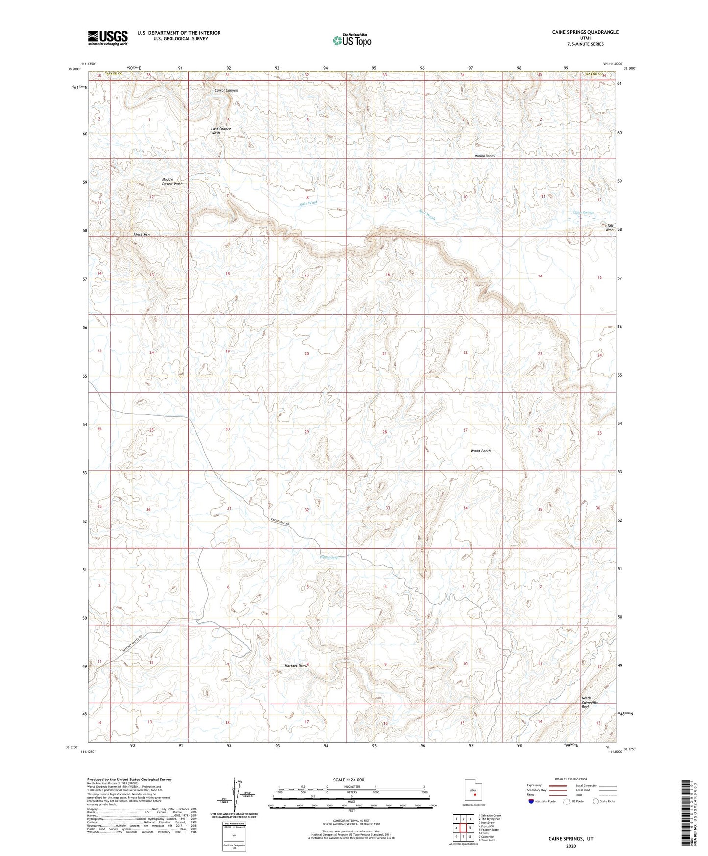
2023 topographic map quadrangle Caine Springs in the state of Utah. Scale: 1:24000. Based on the newly updated USGS 7.5' US Topo map series, this map is in the following counties: Wayne, Emery. The map contains contour data, water features, and other items you are used to seeing on USGS maps, but also has updated roads and other features. This is the next generation of topographic maps. Printed on high-quality waterproof paper with UV fade-resistant inks.
Quads adjacent to this one:
West: Fruita NW
Northwest: Salvation Creek
North: The Frying Pan
Northeast: Hunt Draw
East: Factory Butte
Southeast: Town Point
South: Caineville
Southwest: Fruita
This map covers the same area as the classic USGS quad with code o38111d1.
Contains the following named places: Black Mountain, Caine Springs, Corral Canyon, Hartnet Draw, Last Chance Wash, Middle Desert Wash, Willow Seep, Wood Bench