MyTopo
Cedar Pass Utah US Topo Map
Couldn't load pickup availability
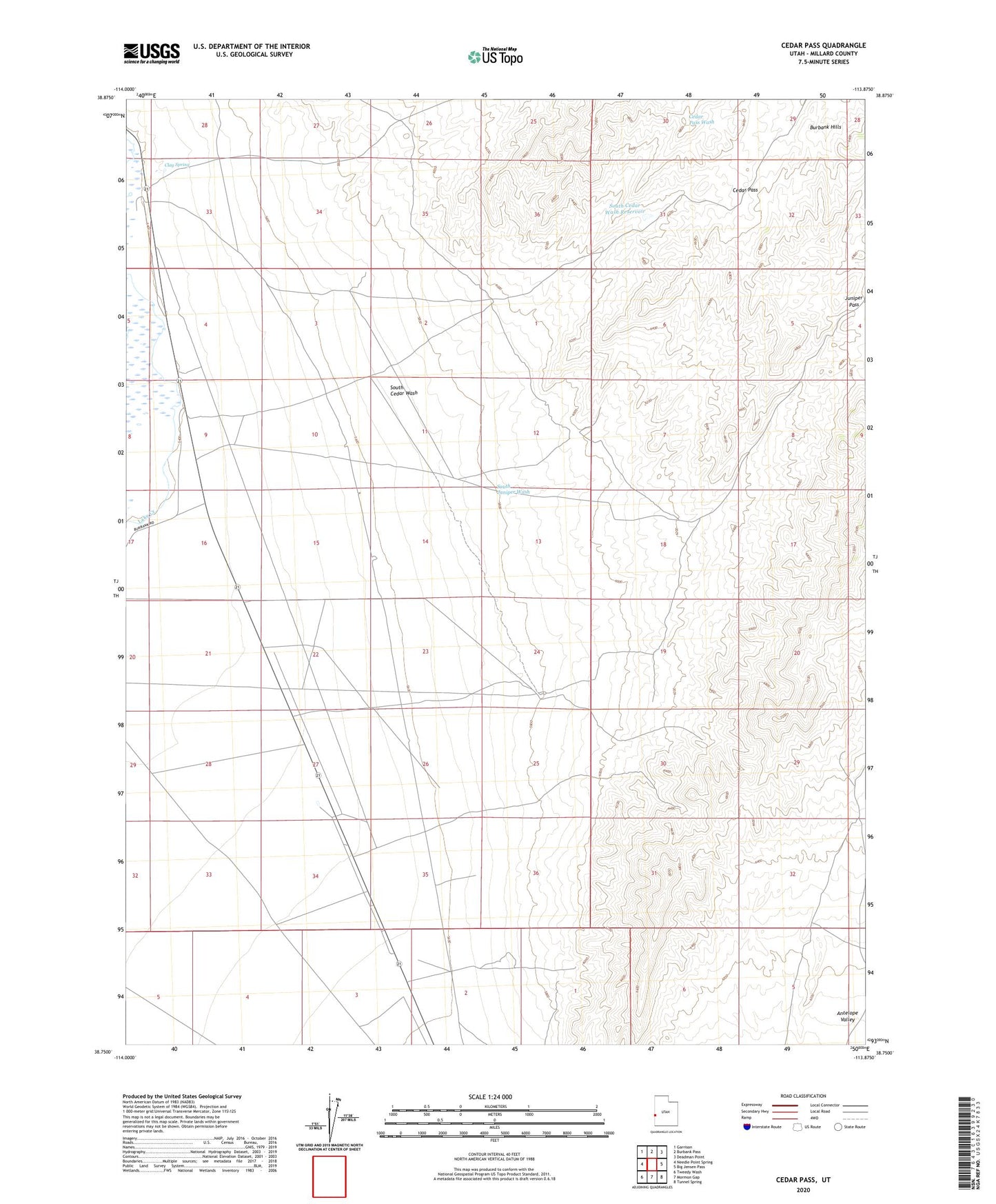
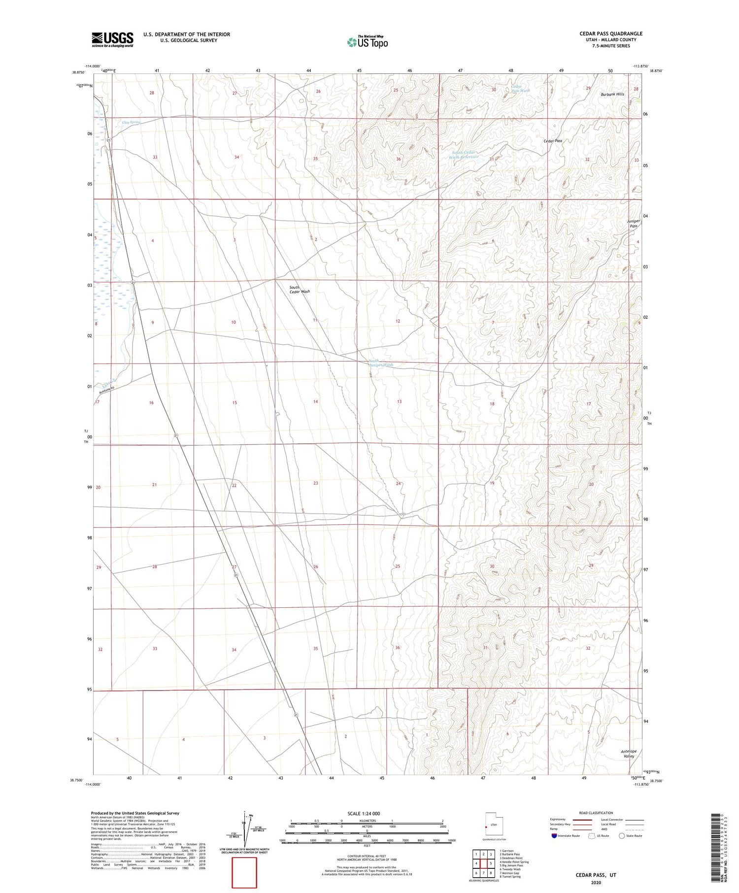
2020 topographic map quadrangle Cedar Pass in the state of Utah. Scale: 1:24000. Based on the newly updated USGS 7.5' US Topo map series, this map is in the following counties: Millard. The map contains contour data, water features, and other items you are used to seeing on USGS maps, but also has updated roads and other features. This is the next generation of topographic maps. Printed on high-quality waterproof paper with UV fade-resistant inks.
Quads adjacent to this one:
West: Needle Point Spring
Northwest: Garrison
North: Burbank Pass
Northeast: Deadman Point
East: Big Jensen Pass
Southeast: Tunnel Spring
South: Mormon Gap
Southwest: Tweedy Wash
Contains the following named places: Burbank Hills, Cedar Pass, Clay Spring, Davies Well, Hockman Well, Juniper Pass, South Cedar Wash, South Cedar Wash Reservoir, South Juniper Wash