MyTopo
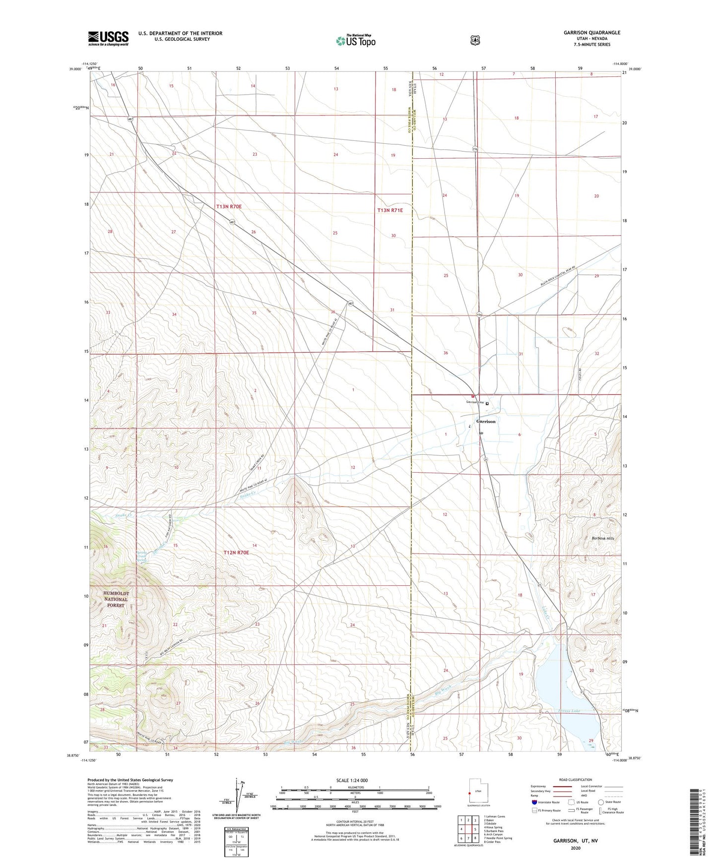
Garrison Utah US Topo Map
Couldn't load pickup availability
Also explore the Garrison Forest Service Topo of this same quad for updated USFS data
2023 topographic map quadrangle Garrison in the states of Nevada, Utah. Scale: 1:24000. Based on the newly updated USGS 7.5' US Topo map series, this map is in the following counties: Millard, White Pine. The map contains contour data, water features, and other items you are used to seeing on USGS maps, but also has updated roads and other features. This is the next generation of topographic maps. Printed on high-quality waterproof paper with UV fade-resistant inks.
Quads adjacent to this one:
West: Kious Spring
Northwest: Lehman Caves
North: Baker
Northeast: Eskdale
East: Burbank Pass
Southeast: Cedar Pass
South: Needle Point Spring
Southwest: Arch Canyon
This map covers the same area as the classic USGS quad with code o38114h1.
Contains the following named places: Baker Landing Strip, Big Wash, Garrison, Garrison Airport, Garrison Cemetery, Garrison Elementary School, Garrison Post Office, Garrison Volunteer Fire Department, Lake Creek, Preuss Lake, Pruess Lake Dam, Snake Creek, Spring Creek, Spring Creek Rearing Station, Spring Creek Spring, The Church of Jesus Christ of Latter Day Saints