MyTopo
Chimney Rock Utah US Topo Map
Couldn't load pickup availability
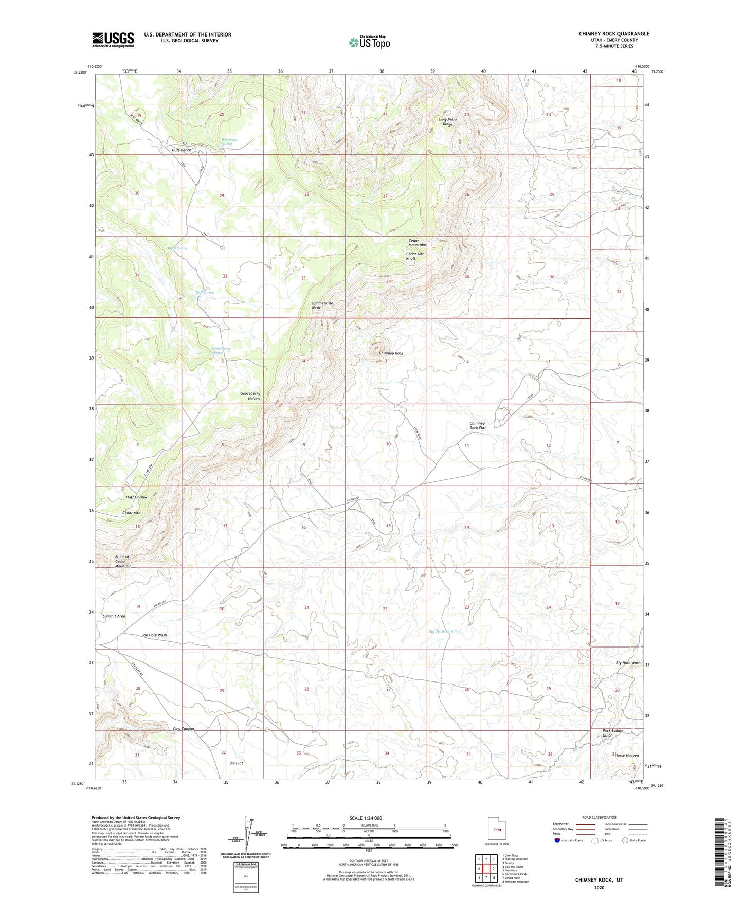
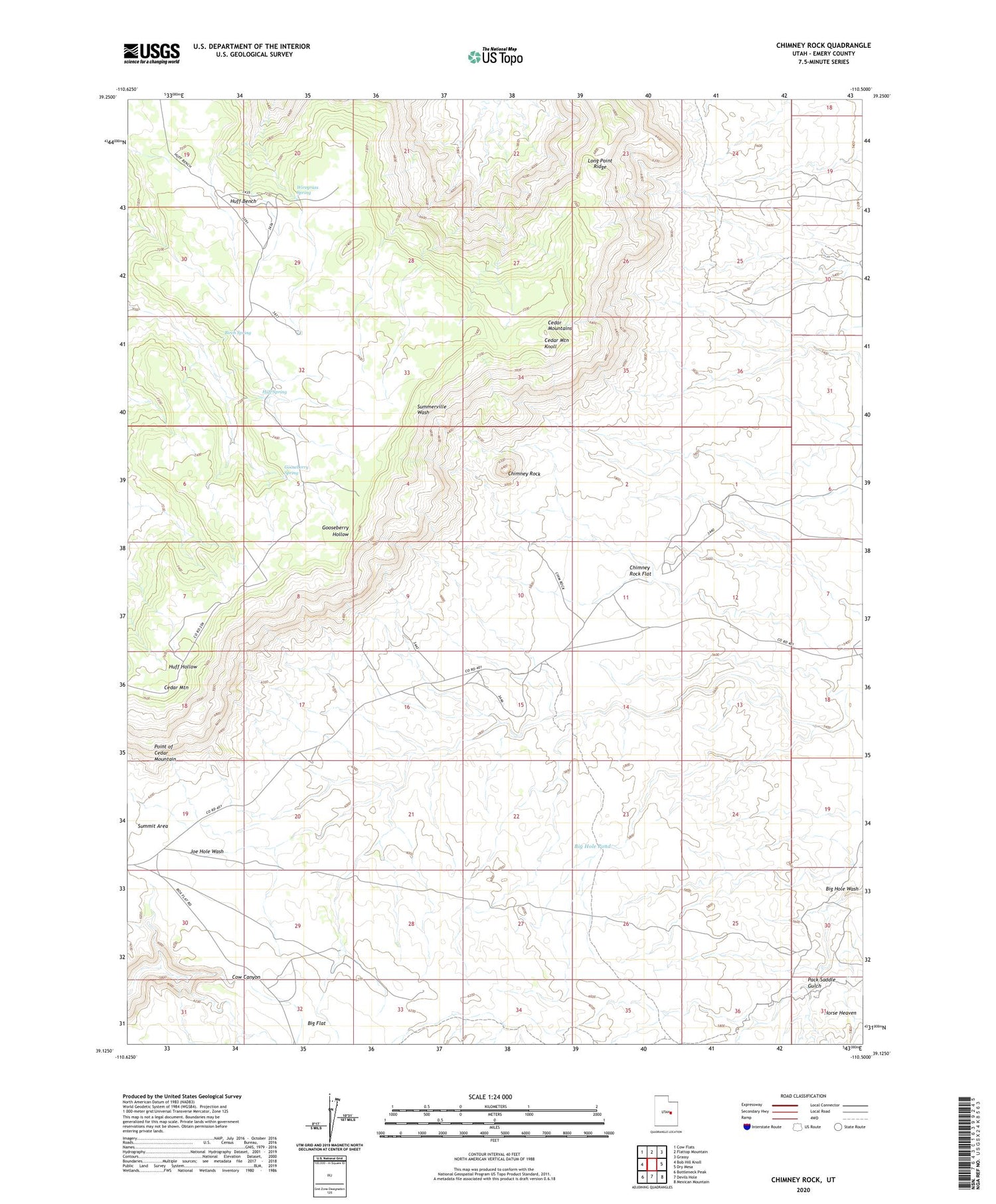
2020 topographic map quadrangle Chimney Rock in the state of Utah. Scale: 1:24000. Based on the newly updated USGS 7.5' US Topo map series, this map is in the following counties: Emery. The map contains contour data, water features, and other items you are used to seeing on USGS maps, but also has updated roads and other features. This is the next generation of topographic maps. Printed on high-quality waterproof paper with UV fade-resistant inks.
Quads adjacent to this one:
West: Bob Hill Knoll
Northwest: Cow Flats
North: Flattop Mountain
Northeast: Grassy
East: Dry Mesa
Southeast: Mexican Mountain
South: Devils Hole
Southwest: Bottleneck Peak
Contains the following named places: Big Flat, Big Hole, Big Hole Pond, Birch Spring, Cedar Mountain, Cedar Mountain Campground, Cedar Mountain Knoll, Cedar Mountain Recreation Area, Cedar Mountains, Chimney Rock, Chimney Rock Flat, Gooseberry Spring, Huff Bench, Huff Spring, Joes Holes, Lews Hole, Long Point Ridge, Pack Saddle Gulch, Point of Cedar Mountain, Wiregrass Spring