MyTopo
Church Rock Utah US Topo Map
Couldn't load pickup availability
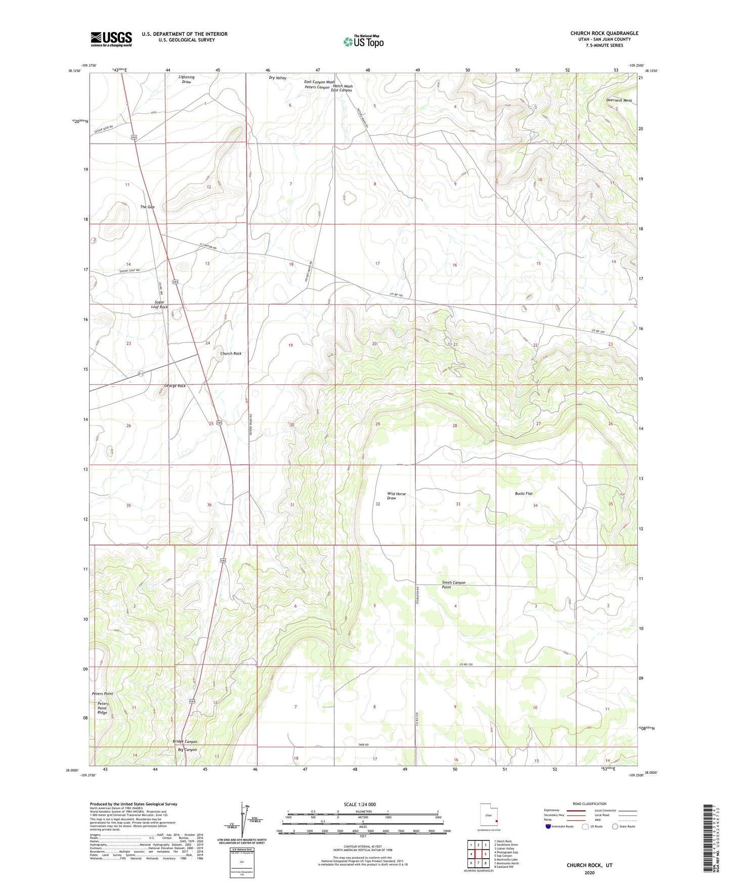
2023 topographic map quadrangle Church Rock in the state of Utah. Scale: 1:24000. Based on the newly updated USGS 7.5' US Topo map series, this map is in the following counties: San Juan. The map contains contour data, water features, and other items you are used to seeing on USGS maps, but also has updated roads and other features. This is the next generation of topographic maps. Printed on high-quality waterproof paper with UV fade-resistant inks.
Quads adjacent to this one:
West: Photograph Gap
Northwest: Hatch Rock
North: Sandstone Draw
Northeast: Lisbon Valley
East: Sop Canyon
Southeast: Eastland NW
South: Monticello North
Southwest: Monticello Lake
This map covers the same area as the classic USGS quad with code o38109a3.
Contains the following named places: Big Canyon, Bridge Canyon, Bucks Flat, Church Rock, George Rock, Ogden Center, Peters Canyon, South Canyon Point, Sugar Loaf Rock, The Gap