MyTopo
Clearwater Canyon Utah US Topo Map
Couldn't load pickup availability
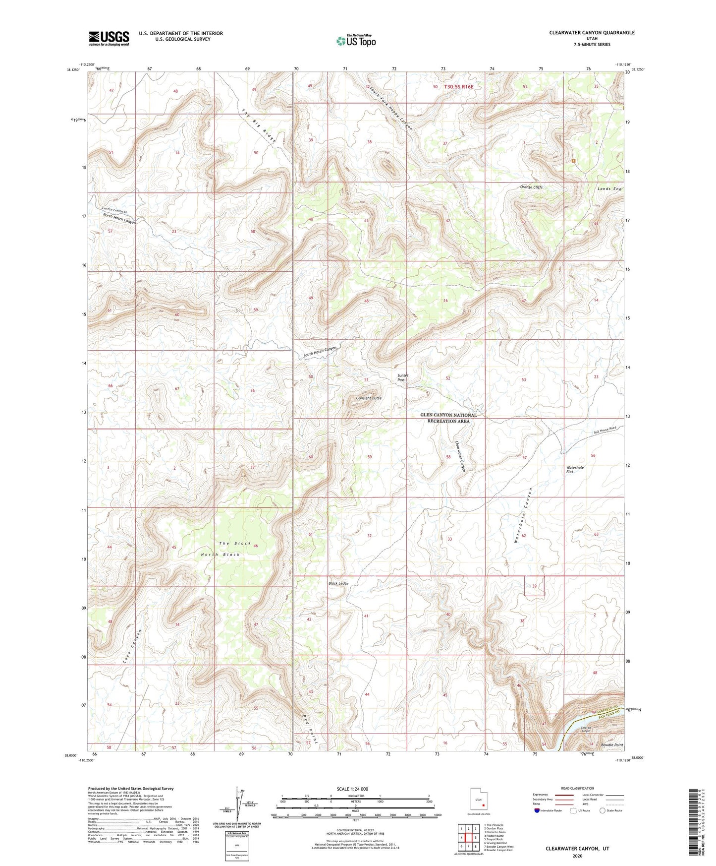
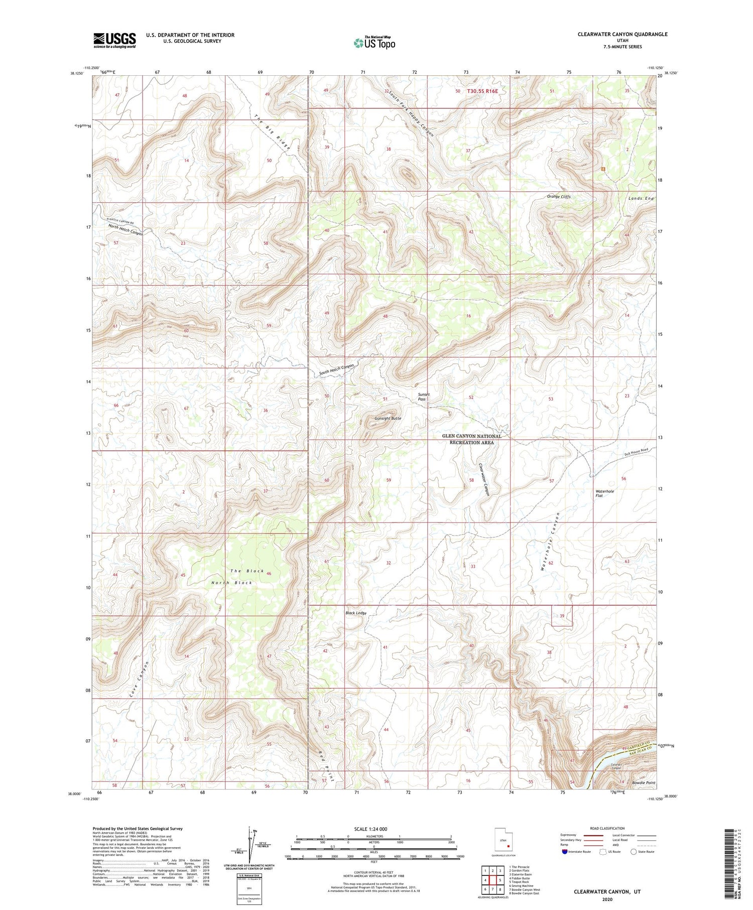
2020 topographic map quadrangle Clearwater Canyon in the state of Utah. Scale: 1:24000. Based on the newly updated USGS 7.5' US Topo map series, this map is in the following counties: Garfield, San Juan. The map contains contour data, water features, and other items you are used to seeing on USGS maps, but also has updated roads and other features. This is the next generation of topographic maps. Printed on high-quality waterproof paper with UV fade-resistant inks.
Quads adjacent to this one:
West: Fiddler Butte
Northwest: The Pinnacle
North: Gordon Flats
Northeast: Elaterite Basin
East: Teapot Rock
Southeast: Bowdie Canyon East
South: Bowdie Canyon West
Southwest: Sewing Machine
Contains the following named places: Black Ledge, Flint Trail Overlook, Gunsight Butte, Lands End, North Block, Red Point, Simplot Airstrip, Sunset Pass, The Big Ridge, The Block, Waterhole Canyon