MyTopo
Deep Canyon South Utah US Topo Map
Couldn't load pickup availability
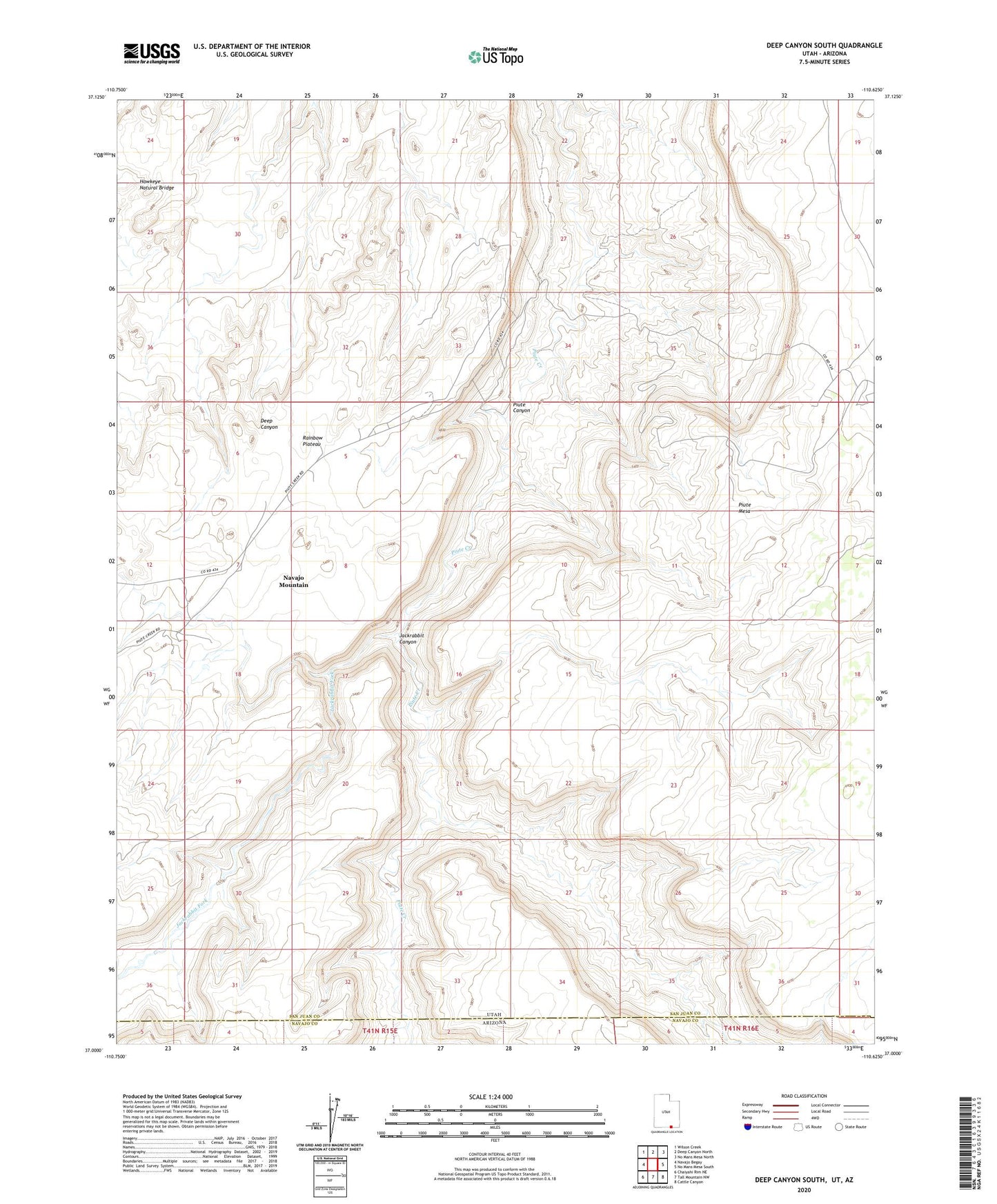
2023 topographic map quadrangle Deep Canyon South in the state of Utah. Scale: 1:24000. Based on the newly updated USGS 7.5' US Topo map series, this map is in the following counties: San Juan, Navajo. The map contains contour data, water features, and other items you are used to seeing on USGS maps, but also has updated roads and other features. This is the next generation of topographic maps. Printed on high-quality waterproof paper with UV fade-resistant inks.
Quads adjacent to this one:
West: Navajo Begay
Northwest: Wilson Creek
North: Deep Canyon North
Northeast: No Mans Mesa North
East: No Mans Mesa South
Southeast: Cattle Canyon
South: Tall Mountain NW
Southwest: Chaiyahi Rim NE
This map covers the same area as the classic USGS quad with code o37110a6.
Contains the following named places: Hawkeye Natural Bridge, Jackrabbit Canyon, Jackrabbit Fork