MyTopo
No Mans Mesa South Utah US Topo Map
Couldn't load pickup availability
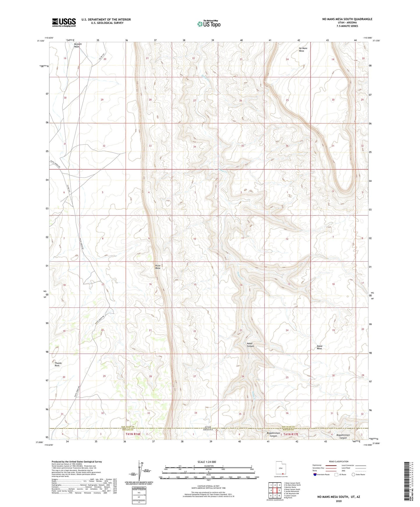
2023 topographic map quadrangle No Mans Mesa South in the states of Arizona, Utah. Scale: 1:24000. Based on the newly updated USGS 7.5' US Topo map series, this map is in the following counties: San Juan, Navajo. The map contains contour data, water features, and other items you are used to seeing on USGS maps, but also has updated roads and other features. This is the next generation of topographic maps. Printed on high-quality waterproof paper with UV fade-resistant inks.
Quads adjacent to this one:
West: Deep Canyon South
Northwest: Deep Canyon North
North: No Mans Mesa North
Northeast: Monitor Butte
East: Jacobs Monument
Southeast: Big Point
South: Cattle Canyon
Southwest: Tall Mountain NW
This map covers the same area as the classic USGS quad with code o37110a5.
Contains the following named places: Begashinitani Canyon, No Mans Mesa, Thumb Rock, Wetherill Trail