MyTopo
Dry Mountain Utah US Topo Map
Couldn't load pickup availability
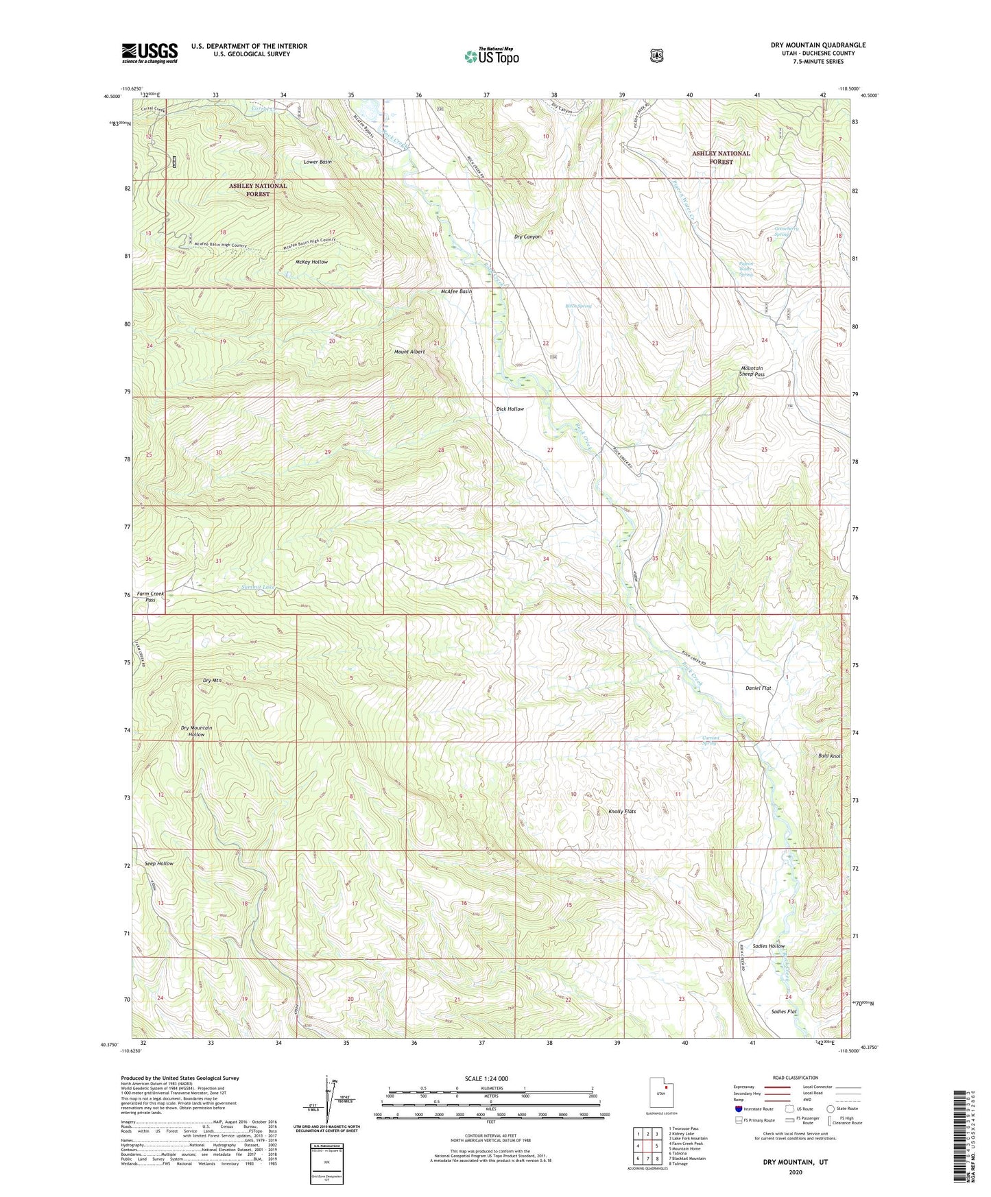
2020 topographic map quadrangle Dry Mountain in the state of Utah. Scale: 1:24000. Based on the newly updated USGS 7.5' US Topo map series, this map is in the following counties: Duchesne. The map contains contour data, water features, and other items you are used to seeing on USGS maps, but also has updated roads and other features. This is the next generation of topographic maps. Printed on high-quality waterproof paper with UV fade-resistant inks.
Quads adjacent to this one:
West: Farm Creek Peak
Northwest: Tworoose Pass
North: Kidney Lake
Northeast: Lake Fork Mountain
East: Mountain Home
Southeast: Talmage
South: Blacktail Mountain
Southwest: Tabiona
Contains the following named places: Birch Spring, Carter Creek, Corral Creek, Currant Spring, Daniel Flat, Dick Hollow, Dry Canyon, Dry Mountain, Farm Creek Pass, Gooseberry Spring, Indian Ranger Station, Knolly Flats, Lower Basin, McAfee Basin, Mount Albert, Mountain Sheep Pass, Pigeon Water Spring, Sadies Flat, Sadies Hollow, Summit Lake