MyTopo
Duggins Creek Utah US Topo Map
Couldn't load pickup availability
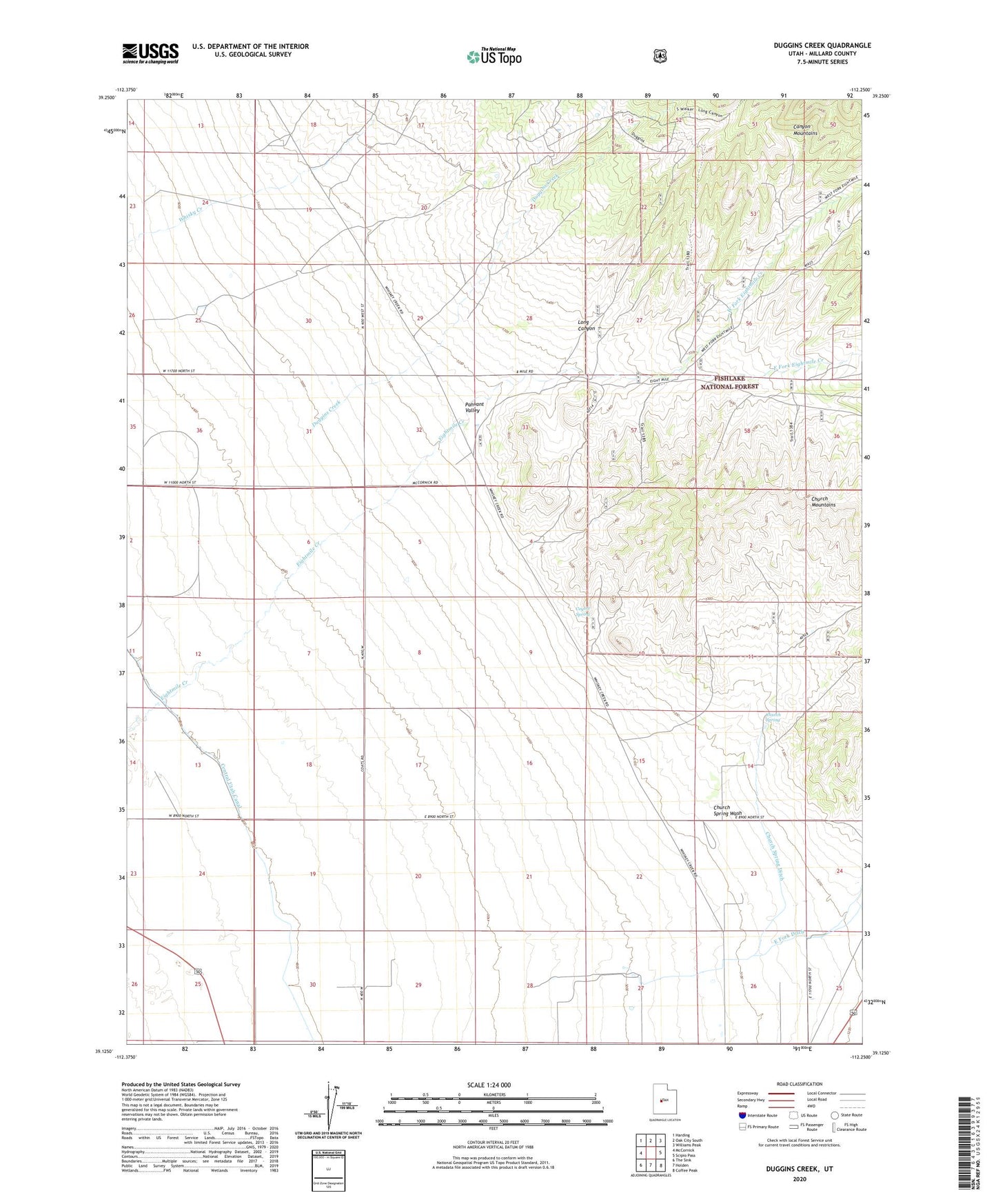
2020 topographic map quadrangle Duggins Creek in the state of Utah. Scale: 1:24000. Based on the newly updated USGS 7.5' US Topo map series, this map is in the following counties: Millard. The map contains contour data, water features, and other items you are used to seeing on USGS maps, but also has updated roads and other features. This is the next generation of topographic maps. Printed on high-quality waterproof paper with UV fade-resistant inks.
Quads adjacent to this one:
West: McCornick
Northwest: Harding
North: Oak City South
Northeast: Williams Peak
East: Scipio Pass
Southeast: Coffee Peak
South: Holden
Southwest: The Sink
Contains the following named places: Church Mountains, Church Spring, Church Spring Ditch, Church Spring Wash, Coyote Spring, Duggins Creek, East Fork Eightmile Creek, Eightmile Canyon, Long Canyon, West Fork Eightmile Creek, ZIP Code: 84636