MyTopo
Harding Utah US Topo Map
Couldn't load pickup availability
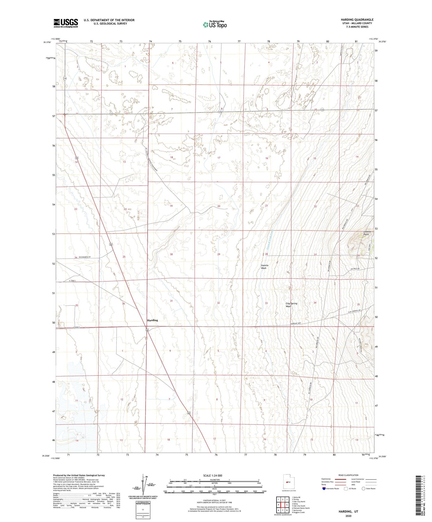
2023 topographic map quadrangle Harding in the state of Utah. Scale: 1:24000. Based on the newly updated USGS 7.5' US Topo map series, this map is in the following counties: Millard. The map contains contour data, water features, and other items you are used to seeing on USGS maps, but also has updated roads and other features. This is the next generation of topographic maps. Printed on high-quality waterproof paper with UV fade-resistant inks.
Quads adjacent to this one:
West: Delta
Northwest: Delta NE
North: Strong
Northeast: Oak City North
East: Oak City South
Southeast: Duggins Creek
South: McCornick
Southwest: Pahvant Butte North
This map covers the same area as the classic USGS quad with code o39112c4.
Contains the following named places: Clay Spring Wash, Harding, Sixmile Point, Sixmile Wash