MyTopo
Fish Springs SW Utah US Topo Map
Couldn't load pickup availability
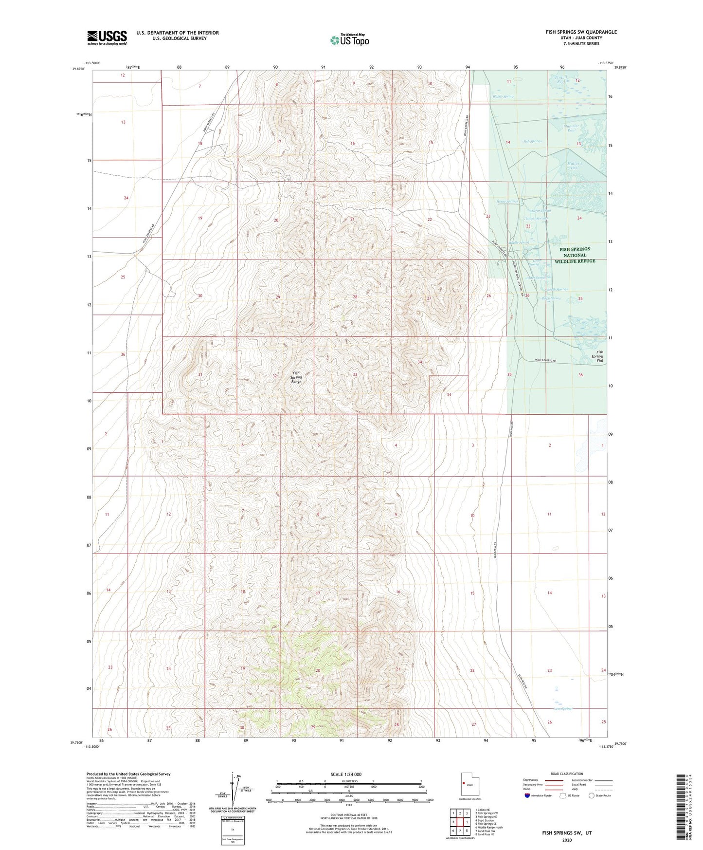
2023 topographic map quadrangle Fish Springs SW in the state of Utah. Scale: 1:24000. Based on the newly updated USGS 7.5' US Topo map series, this map is in the following counties: Juab. The map contains contour data, water features, and other items you are used to seeing on USGS maps, but also has updated roads and other features. This is the next generation of topographic maps. Printed on high-quality waterproof paper with UV fade-resistant inks.
Quads adjacent to this one:
West: Boyd Station
Northwest: Callao NE
North: Fish Springs NW
Northeast: Fish Springs NE
East: Fish Springs SE
Southeast: Sand Pass NE
South: Sand Pass NW
Southwest: Middle Range North
This map covers the same area as the classic USGS quad with code o39113g4.
Contains the following named places: Cactus Mine, Cane Springs, Crater Spring, Devils Hole, Early Harvest Shaft, Emma Mine, Fish Springs, Galena Mine, House Springs, Joseph Adit, Lost Spring, Mallard Pool, Middle Spring, Mirror Spring, Percy Spring, Pony Express Monument, South Springs, Thomas Springs, Utah Mine, Vulcan Mine, Walter Spring, Wilson Mine