MyTopo
Francis Utah US Topo Map
Couldn't load pickup availability
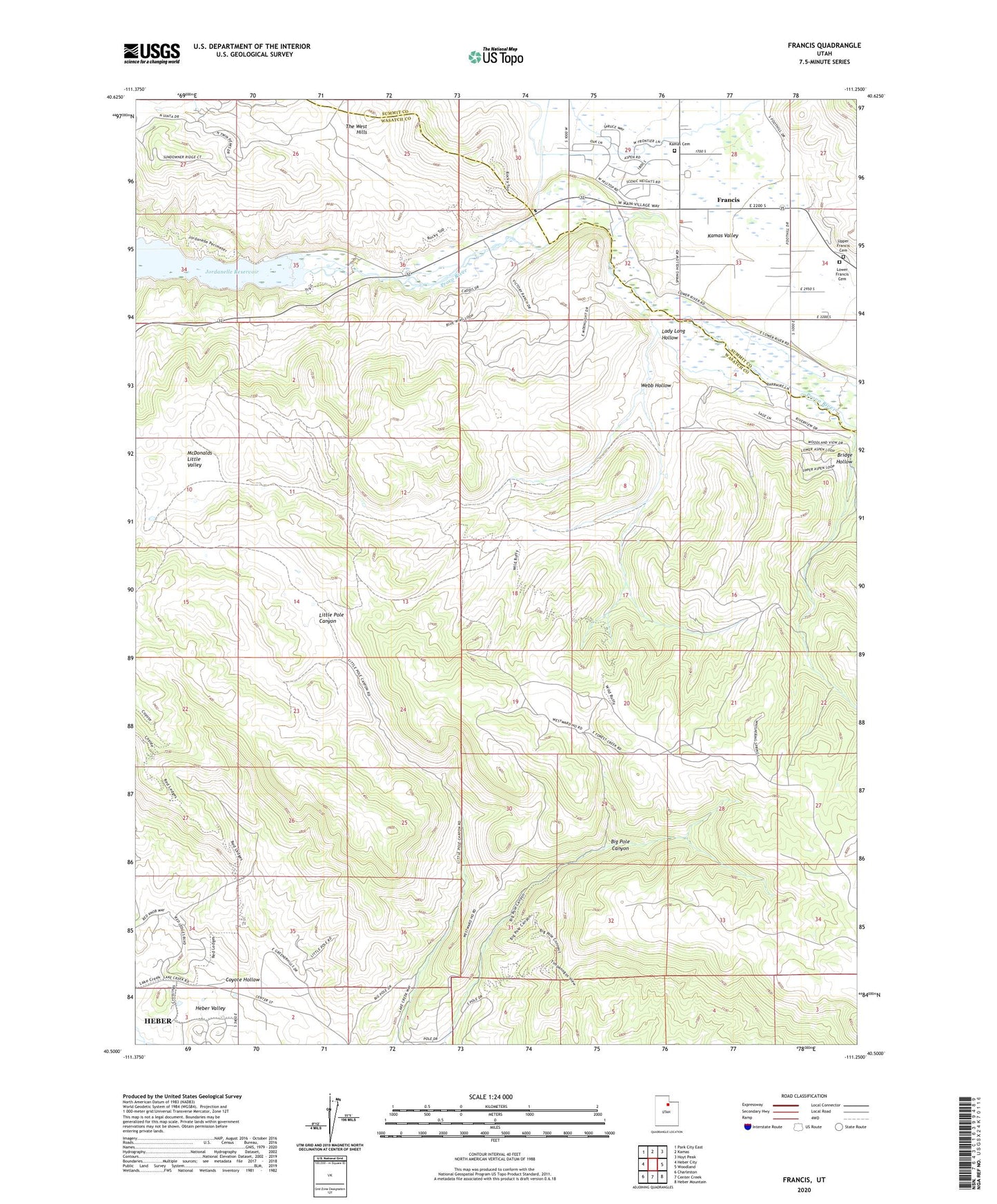
2023 topographic map quadrangle Francis in the state of Utah. Scale: 1:24000. Based on the newly updated USGS 7.5' US Topo map series, this map is in the following counties: Wasatch, Summit. The map contains contour data, water features, and other items you are used to seeing on USGS maps, but also has updated roads and other features. This is the next generation of topographic maps. Printed on high-quality waterproof paper with UV fade-resistant inks.
Quads adjacent to this one:
West: Heber City
Northwest: Park City East
North: Kamas
Northeast: Hoyt Peak
East: Woodland
Southeast: Heber Mountain
South: Center Creek
Southwest: Charleston
This map covers the same area as the classic USGS quad with code o40111e3.
Contains the following named places: Bridge Hollow, Coyote Hollow, Francis, Kamas Cemetery, Lady Long Hollow, Lower Francis Cemetery, McDonalds Little Valley, The Church of Jesus Christ of Latter Day Saints, Town of Francis, Upper Francis Cemetery, Webb Hollow, ZIP Code: 84032