MyTopo
Heber City Utah US Topo Map
Couldn't load pickup availability
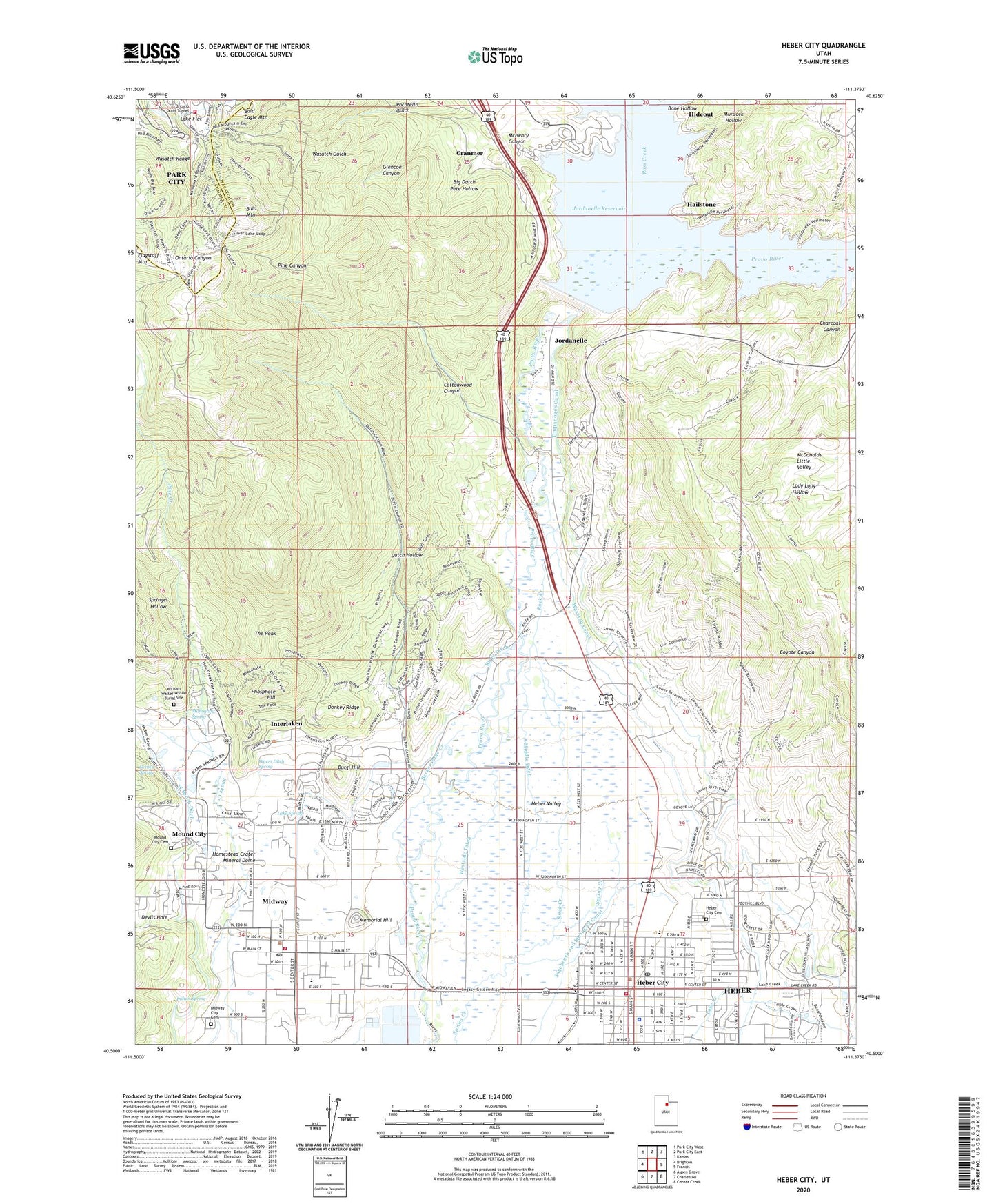
2023 topographic map quadrangle Heber City in the state of Utah. Scale: 1:24000. Based on the newly updated USGS 7.5' US Topo map series, this map is in the following counties: Wasatch, Summit. The map contains contour data, water features, and other items you are used to seeing on USGS maps, but also has updated roads and other features. This is the next generation of topographic maps. Printed on high-quality waterproof paper with UV fade-resistant inks.
Quads adjacent to this one:
West: Brighton
Northwest: Park City West
North: Park City East
Northeast: Kamas
East: Francis
Southeast: Center Creek
South: Charleston
Southwest: Aspen Grove
This map covers the same area as the classic USGS quad with code o40111e4.
Contains the following named places: Bald Eagle Mountain, Bald Mountain, Berkenshaw Creek, Big Dutch Pete Hollow, Bone Hollow, Burgi Hill, Central Elementary School, Charcoal Canyon, City of Heber, City of Midway, Cottonwood Canyon, Coyote Canyon, Cranmer, Cunningham Tunnel, Devils Hole, Donkey Ridge, Drain Tunnel Creek, Dutch Hollow, Epperson Ditch, First Baptist Church, Flagstaff Mountain, Gerber Spring, Glencoe Canyon, Glencoe Mine, Hailstone, Harold P Fabian Visitor Center, Hawkeye McHenry, Heber City, Heber City Cemetery, Heber City Police Department, Heber City Post Office, Heber Valley Baptist Church, Heber Valley Railroad Depot, Homestead Crater Mineral Dome, Indian Spring, Interlaken, Island Ditch, J R Smith Elementary School, Jordanelle, Jordanelle Dam, Jordanelle Reservoir, Jordanelle State Park, Keeler Tunnel, KLVR-AM (Heber City), Lake Creek, Lake Flat, Lake Spring, Mahogany Spring, Mayflower Mine, McHenry Canyon, Memorial Hill, Middle Ditch, Midway, Midway City Cemetery, Midway Elementary School, Midway Post Office, Midway School, Midway Town Hall, Mound City, Mound City Cemetery, Mountain Spa, Mountain Valley Baptist Chapel, Murdock Hollow, Murdock Powerhouse, Naildriver, New York, North Kindergarten School, North Wasatch Division, Ontario Number 1 Shaft, Ontario Shaft Number 2, Park City Fire District Station 34, Park Heber Tunnel, Park Premier Shaft, Parkview Trailer Court, Phosphate Hill, Pine Canyon, Pine Creek, Pocatello Gulch, Queen Tunnel, River Ditch, Rock Creek, Saint Lawrence Catholic Church, Silver Lake Station Number 34, Springer Hollow, Star Tunnel, The Church of Jesus Christ of Latter Day Saints, The Peak, Timpanogos Canal, Town of Interlaken, Valeo Mine, Wabash, Warm Ditch Spring, Wasatch, Wasatch Canal, Wasatch County Emergency Medical Services, Wasatch County Fire District - Heber City, Wasatch County Fire District Midway, Wasatch County Hospital, Wasatch County Hospital Heliport, Wasatch Gulch, West Bench Ditch, Westside Ditch, William Walter Wilson Burial Site


