
MyTopo
Fruita NW Utah US Topo Map
Couldn't load pickup availability
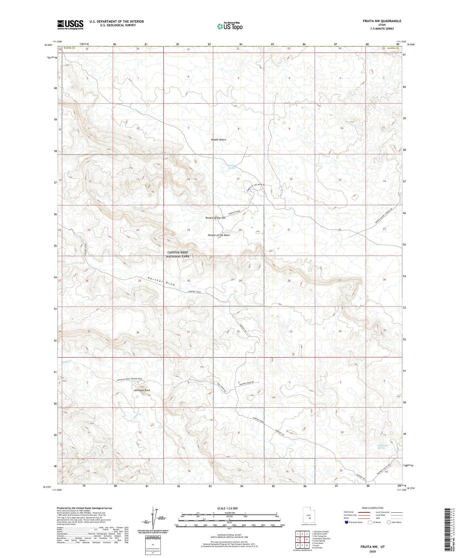
2020 topographic map quadrangle Fruita NW in the state of Utah. Scale: 1:24000. Based on the newly updated USGS 7.5' US Topo map series, this map is in the following counties: Wayne, Emery. The map contains contour data, water features, and other items you are used to seeing on USGS maps, but also has updated roads and other features. This is the next generation of topographic maps. Printed on high-quality waterproof paper with UV fade-resistant inks.
Quads adjacent to this one:
West: Cathedral Mountain
Northwest: Solomons Temple
North: Salvation Creek
Northeast: The Frying Pan
East: Caine Springs
Southeast: Caineville
South: Fruita
Southwest: Twin Rocks
Contains the following named places: Campers Spring, Glass Mountain, Jailhouse Rock, Lower Group, Middle Desert, Rockwater Spring, South Desert, South Desert Overlook, Temple of the Moon, Temple of the Sun, The Hartnet


