MyTopo
Hatch Mesa Utah US Topo Map
Couldn't load pickup availability
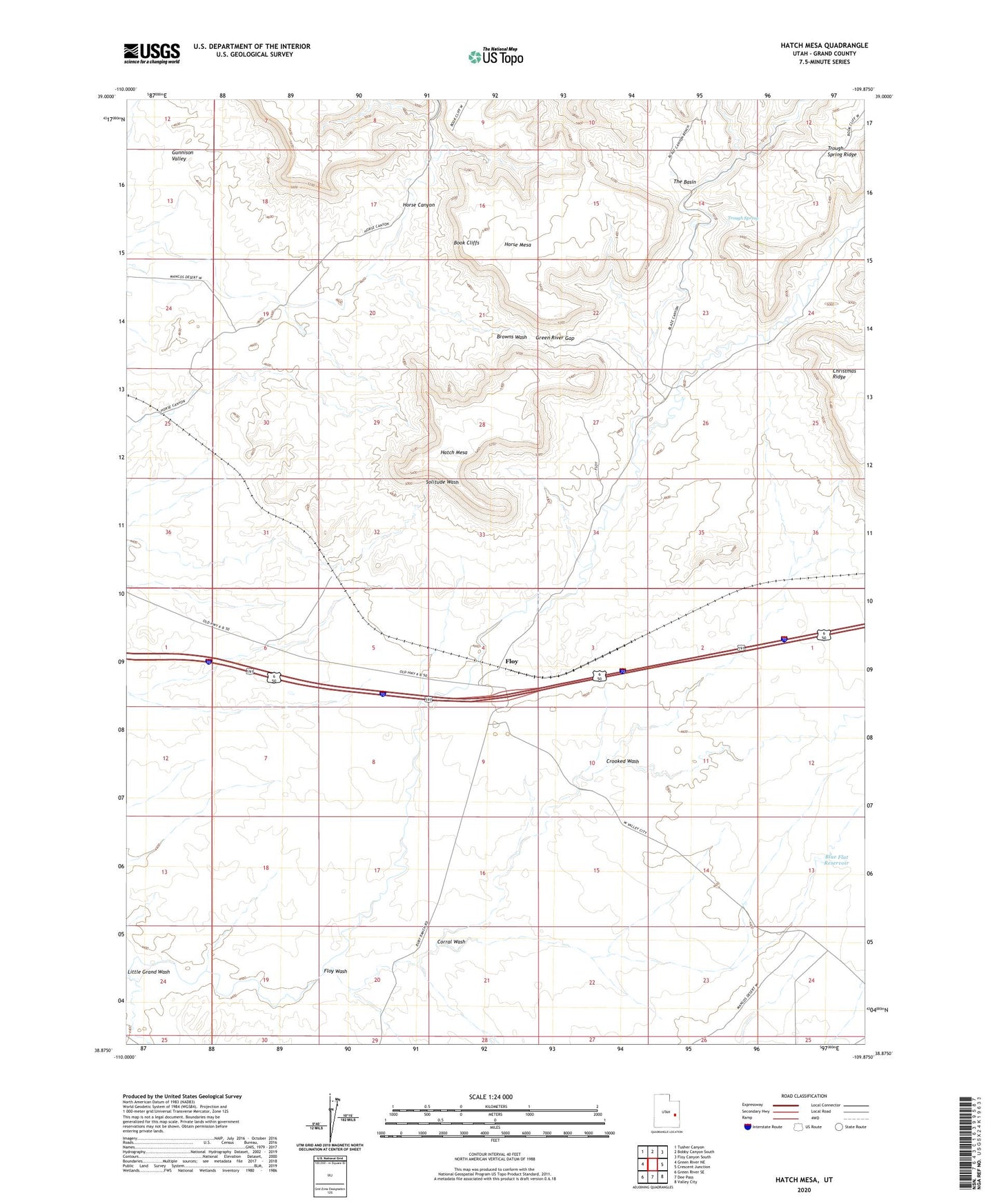
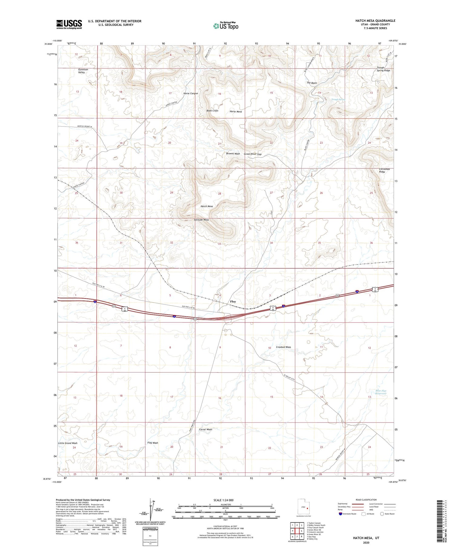
2020 topographic map quadrangle Hatch Mesa in the state of Utah. Scale: 1:24000. Based on the newly updated USGS 7.5' US Topo map series, this map is in the following counties: Grand. The map contains contour data, water features, and other items you are used to seeing on USGS maps, but also has updated roads and other features. This is the next generation of topographic maps. Printed on high-quality waterproof paper with UV fade-resistant inks.
Quads adjacent to this one:
West: Green River NE
Northwest: Tusher Canyon
North: Bobby Canyon South
Northeast: Floy Canyon South
East: Crescent Junction
Southeast: Valley City
South: Dee Pass
Southwest: Green River SE
Contains the following named places: Blue Flat Reservoir, Corral Wash, Crooked Wash, Floy, Floy Wash, Green River Gap, Hatch Mesa, Hatch Ranch, Horse Canyon, Horse Mesa, The Basin, Trough Spring, Trough Spring Ridge