MyTopo
Valley City Utah US Topo Map
Couldn't load pickup availability
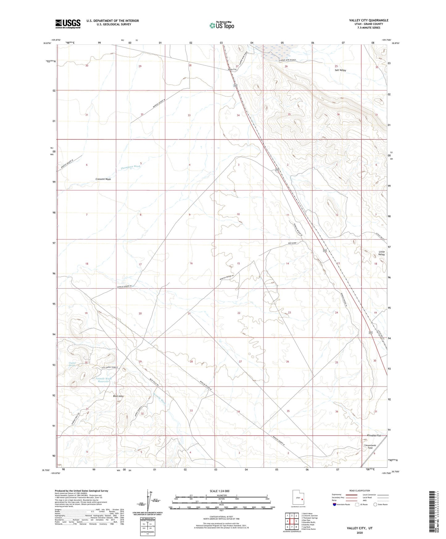
2023 topographic map quadrangle Valley City in the state of Utah. Scale: 1:24000. Based on the newly updated USGS 7.5' US Topo map series, this map is in the following counties: Grand. The map contains contour data, water features, and other items you are used to seeing on USGS maps, but also has updated roads and other features. This is the next generation of topographic maps. Printed on high-quality waterproof paper with UV fade-resistant inks.
Quads adjacent to this one:
West: Dee Pass
Northwest: Hatch Mesa
North: Crescent Junction
Northeast: Thompson Springs
East: Klondike Bluffs
Southeast: Merrimac Butte
South: Jug Rock
Southwest: Dubinky Wash
This map covers the same area as the classic USGS quad with code o38109g7.
Contains the following named places: Blue Hills, Canyonlands Field, Crescent Wash, Crystal Spring, Queens Well, Rock Corral Reservoir, Tenmile Wash Reservoir, Valley City, Valley City Reservoir