MyTopo
Hidden Lake Utah US Topo Map
Couldn't load pickup availability
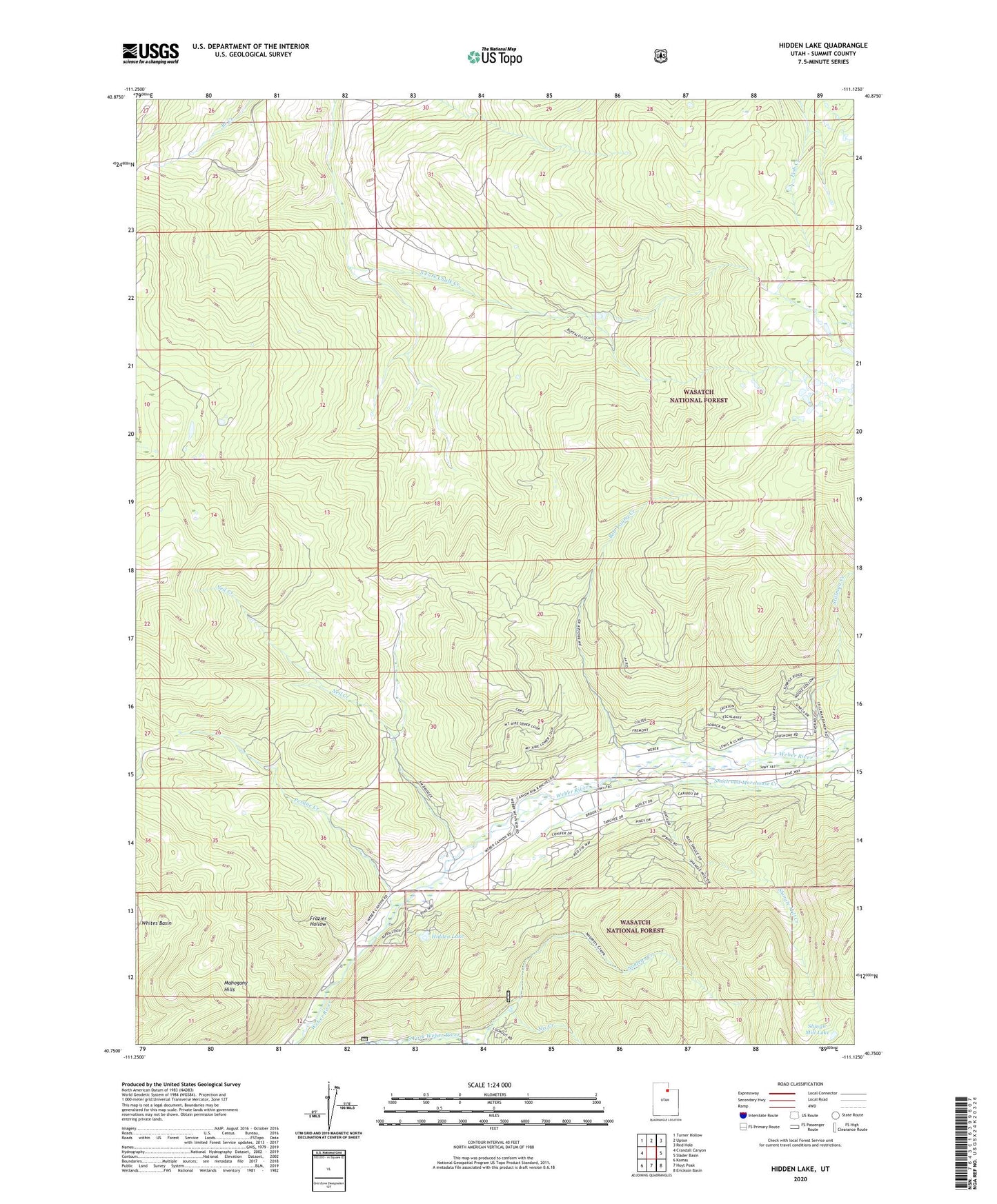
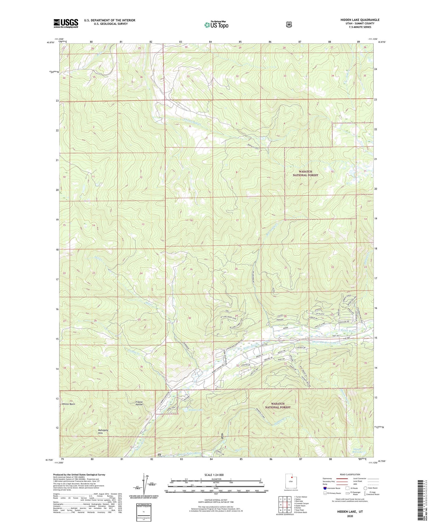
2020 topographic map quadrangle Hidden Lake in the state of Utah. Scale: 1:24000. Based on the newly updated USGS 7.5' US Topo map series, this map is in the following counties: Summit. The map contains contour data, water features, and other items you are used to seeing on USGS maps, but also has updated roads and other features. This is the next generation of topographic maps. Printed on high-quality waterproof paper with UV fade-resistant inks.
Quads adjacent to this one:
West: Crandall Canyon
Northwest: Turner Hollow
North: Upton
Northeast: Red Hole
East: Slader Basin
Southeast: Erickson Basin
South: Hoyt Peak
Southwest: Kamas
Contains the following named places: Bob Young Creek, Frazier Hollow, Hidden Lake, Mahogany Hills, Neil Creek, Nix Creek, Perdue Creek, Shingle Mill Creek, Shingle Mill Lake, Smith and Morehouse Creek, Stillman Creek, The Pines, Whites Basin