MyTopo
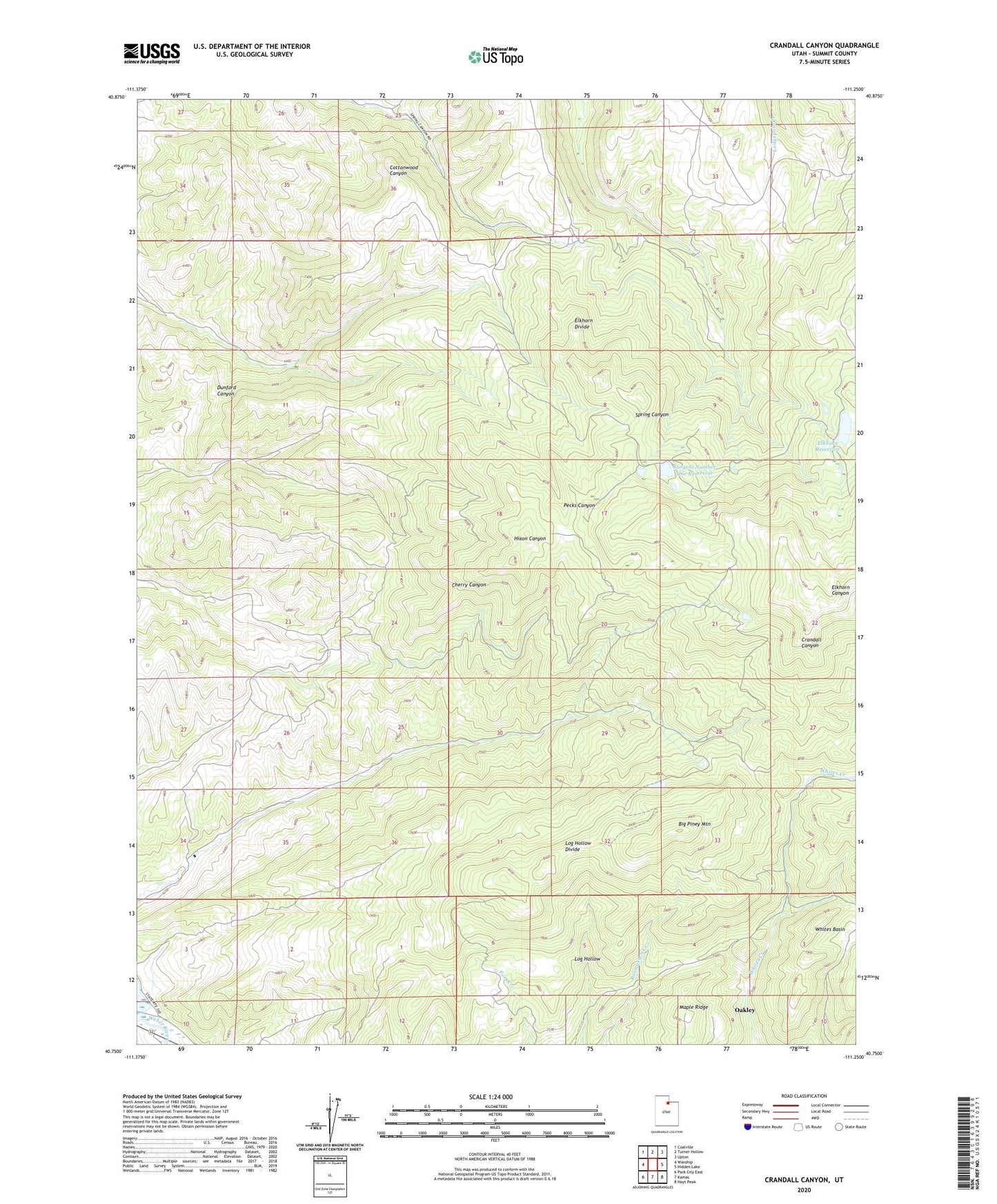
Crandall Canyon Utah US Topo Map
Couldn't load pickup availability
2023 topographic map quadrangle Crandall Canyon in the state of Utah. Scale: 1:24000. Based on the newly updated USGS 7.5' US Topo map series, this map is in the following counties: Summit. The map contains contour data, water features, and other items you are used to seeing on USGS maps, but also has updated roads and other features. This is the next generation of topographic maps. Printed on high-quality waterproof paper with UV fade-resistant inks.
Quads adjacent to this one:
West: Wanship
Northwest: Coalville
North: Turner Hollow
Northeast: Upton
East: Hidden Lake
Southeast: Hoyt Peak
South: Kamas
Southwest: Park City East
This map covers the same area as the classic USGS quad with code o40111g3.
Contains the following named places: Area C Recreation Site, Big Piney Mountain, Elkhorn Divide, Elkhorn Reservoir, Hixon Canyon Wildlife Management Area, Log Hollow Divide, Maple Ridge, Sargent Lakes, Sargent Number One Dam, Sargent Number One Reservoir, ZIP Code: 84061