MyTopo
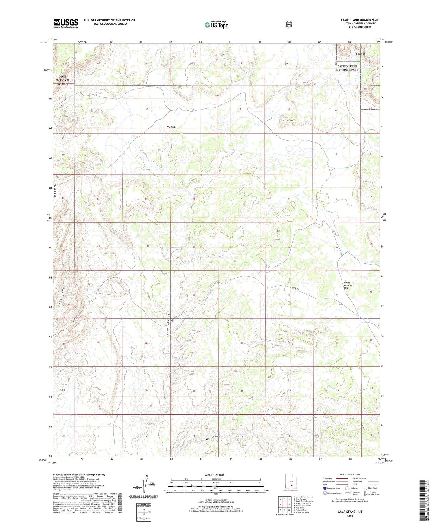
Lamp Stand Utah US Topo Map
Couldn't load pickup availability
Also explore the Lamp Stand Forest Service Topo of this same quad for updated USFS data
2023 topographic map quadrangle Lamp Stand in the state of Utah. Scale: 1:24000. Based on the newly updated USGS 7.5' US Topo map series, this map is in the following counties: Garfield. The map contains contour data, water features, and other items you are used to seeing on USGS maps, but also has updated roads and other features. This is the next generation of topographic maps. Printed on high-quality waterproof paper with UV fade-resistant inks.
Quads adjacent to this one:
West: Steep Creek Bench
Northwest: Lower Bowns Reservoir
North: Bear Canyon
Northeast: Sandy Creek Benches
East: Bitter Creek Divide
Southeast: Wagon Box Mesa
South: Pioneer Mesa
Southwest: King Bench
This map covers the same area as the classic USGS quad with code o37111h2.
Contains the following named places: Circle Cliffs, Lamp Stand, Long Canyon Overlook, The Flats, White Canyon Flat