MyTopo
Wagon Box Mesa Utah US Topo Map
Couldn't load pickup availability
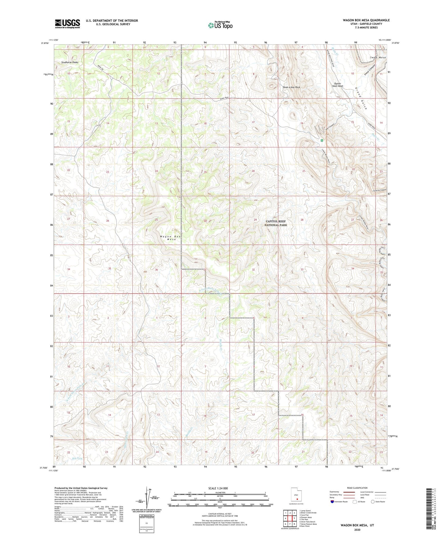
2023 topographic map quadrangle Wagon Box Mesa in the state of Utah. Scale: 1:24000. Based on the newly updated USGS 7.5' US Topo map series, this map is in the following counties: Garfield. The map contains contour data, water features, and other items you are used to seeing on USGS maps, but also has updated roads and other features. This is the next generation of topographic maps. Printed on high-quality waterproof paper with UV fade-resistant inks.
Quads adjacent to this one:
West: Pioneer Mesa
Northwest: Lamp Stand
North: Bitter Creek Divide
Northeast: Cave Flat
East: The Post
Southeast: Deer Point
South: Horse Pasture Mesa
Southwest: Silver Falls Bench
This map covers the same area as the classic USGS quad with code o37111g1.
Contains the following named places: Burr Canyon, Creek Canyon, Peak-a-boo Rock, Swap Canyon, Wagon Box Mesa