MyTopo
Milford Flat Utah US Topo Map
Couldn't load pickup availability
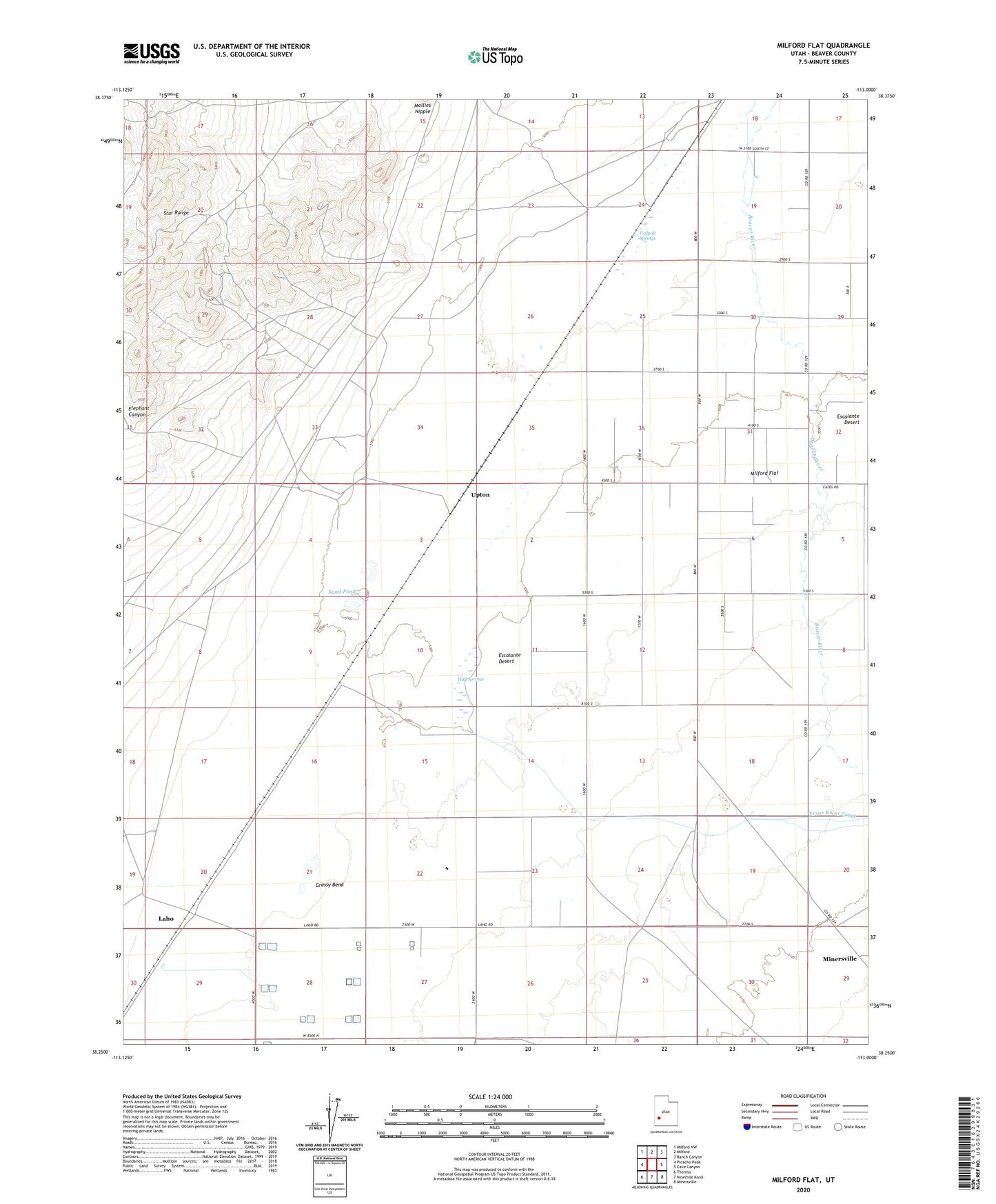
2020 topographic map quadrangle Milford Flat in the state of Utah. Scale: 1:24000. Based on the newly updated USGS 7.5' US Topo map series, this map is in the following counties: Beaver. The map contains contour data, water features, and other items you are used to seeing on USGS maps, but also has updated roads and other features. This is the next generation of topographic maps. Printed on high-quality waterproof paper with UV fade-resistant inks.
Quads adjacent to this one:
West: Picacho Peak
Northwest: Milford NW
North: Milford
Northeast: Ranch Canyon
East: Cave Canyon
Southeast: Minersville
South: Ninemile Knoll
Southwest: Thermo
Contains the following named places: Carlton Well, Cook Corner, Elephant Canyon, Estelle Mine, Flying M Ranch Airport, Gold Crown Mine, Grassy Bend, Hay Springs, Hearn Well, Laho, Martin Well, Maud-S Mine, Milford Flat, Mollies Nipple, Rollins Well, Sand Pond, Smelter Well, Tadpole Springs, Tomsik Well, Upton, Vicksburg Mine