
MyTopo
Mineral Canyon Utah US Topo Map
Couldn't load pickup availability
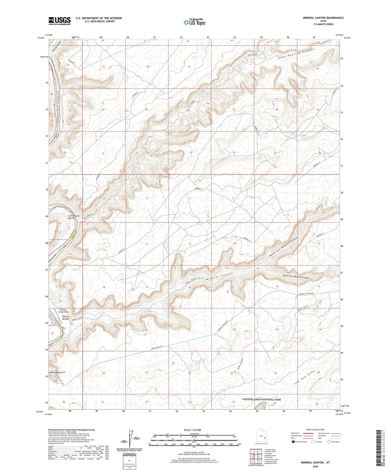
2020 topographic map quadrangle Mineral Canyon in the state of Utah. Scale: 1:24000. Based on the newly updated USGS 7.5' US Topo map series, this map is in the following counties: Grand, Emery. The map contains contour data, water features, and other items you are used to seeing on USGS maps, but also has updated roads and other features. This is the next generation of topographic maps. Printed on high-quality waterproof paper with UV fade-resistant inks.
Quads adjacent to this one:
West: Bowknot Bend
Northwest: Tenmile Point
North: Dubinky Wash
Northeast: Jug Rock
East: The Knoll
Southeast: Musselman Arch
South: Upheaval Dome
Southwest: Horsethief Canyon
Contains the following named places: Cottonwood Bottom, Deadman Point, Dubinky Wash, Hell Roaring Canyon, Horsethief Spring, Mineral Bottom, Mineral Canyon, Mineral Canyon Strip, Mineral Point, North Fork Mineral Canyon, South Fork Mineral Canyon


