MyTopo
Dubinky Wash Utah US Topo Map
Couldn't load pickup availability
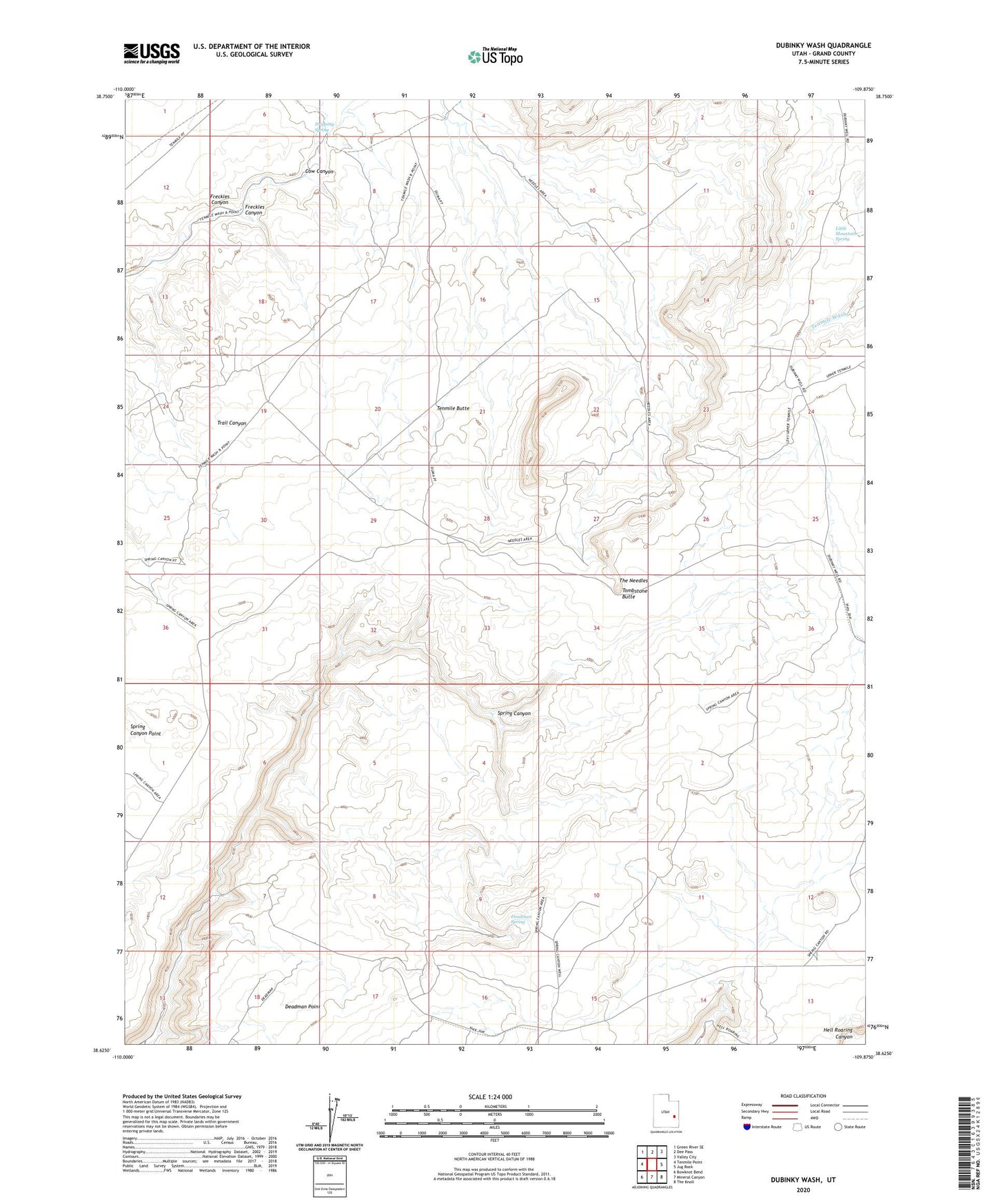
2023 topographic map quadrangle Dubinky Wash in the state of Utah. Scale: 1:24000. Based on the newly updated USGS 7.5' US Topo map series, this map is in the following counties: Grand. The map contains contour data, water features, and other items you are used to seeing on USGS maps, but also has updated roads and other features. This is the next generation of topographic maps. Printed on high-quality waterproof paper with UV fade-resistant inks.
Quads adjacent to this one:
West: Tenmile Point
Northwest: Green River SE
North: Dee Pass
Northeast: Valley City
East: Jug Rock
Southeast: The Knoll
South: Mineral Canyon
Southwest: Bowknot Bend
This map covers the same area as the classic USGS quad with code o38109f8.
Contains the following named places: Cow Canyon, Deadman Spring, Dripping Spring, Dubinky Well, Freckles Canyon, Little Mountain Spring, Tenmile Butte, The Needles, Tombstone Butte