MyTopo
Mount Terrill Utah US Topo Map
Couldn't load pickup availability
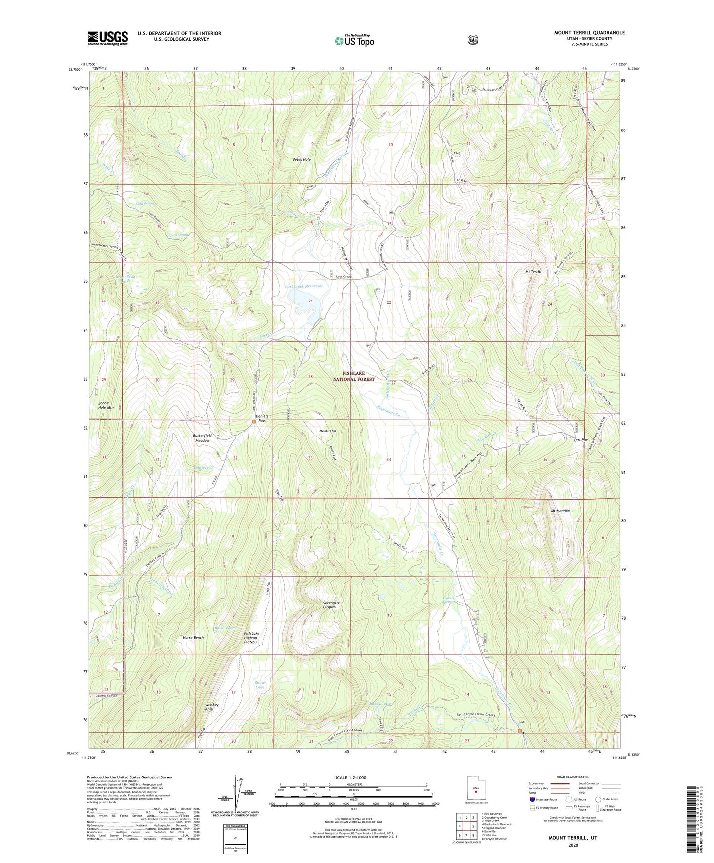
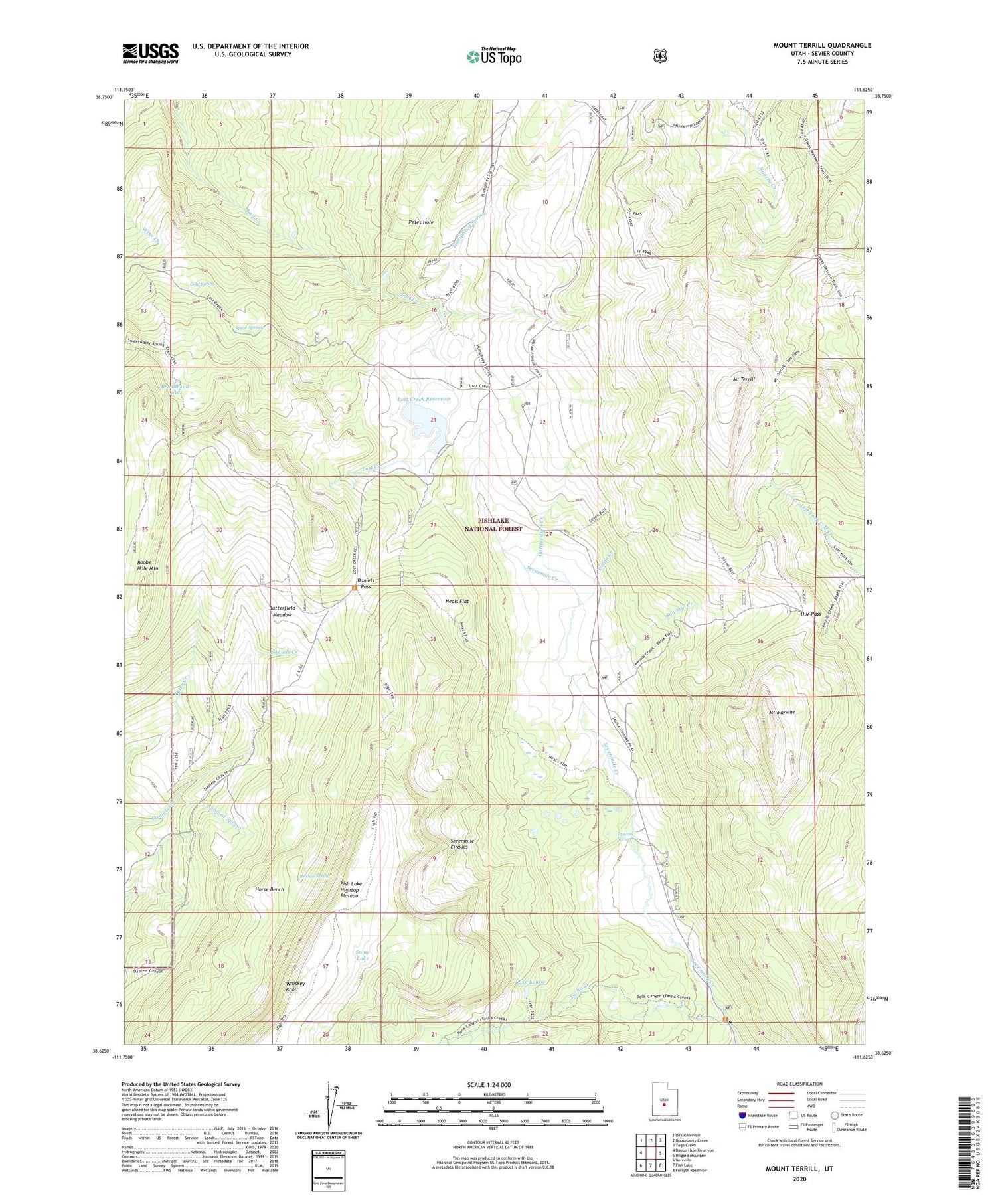
2020 topographic map quadrangle Mount Terrill in the state of Utah. Scale: 1:24000. Based on the newly updated USGS 7.5' US Topo map series, this map is in the following counties: Sevier. The map contains contour data, water features, and other items you are used to seeing on USGS maps, but also has updated roads and other features. This is the next generation of topographic maps. Printed on high-quality waterproof paper with UV fade-resistant inks.
Quads adjacent to this one:
West: Boobe Hole Reservoir
Northwest: Rex Reservoir
North: Gooseberry Creek
Northeast: Yogo Creek
East: Hilgard Mountain
Southeast: Forsyth Reservoir
South: Fish Lake
Southwest: Burrville
Contains the following named places: Boobe Hole Mountain, Broadhead Lakes, Bronco Spring, Butterfield Meadow, Cold Spring, Daniels Pass, Gottfredsen Creek, Horse Bench, Humphrey Spring, Lake Louise, Lost Creek Dam, Lost Creek Reservoir, Mount Marvine, Mount Terrill, Mount Terrill Guard Station, Neals Flat, Petes Hole, Richfield Division, Sanford Spring, Sawmill Creek, Sevenmile Cirques, Snow Lake, Spirit Spring, Tasha Creek, Travois Spring, U M Pass, Whiskey Knoll, White Creek