MyTopo
Photograph Gap Utah US Topo Map
Couldn't load pickup availability
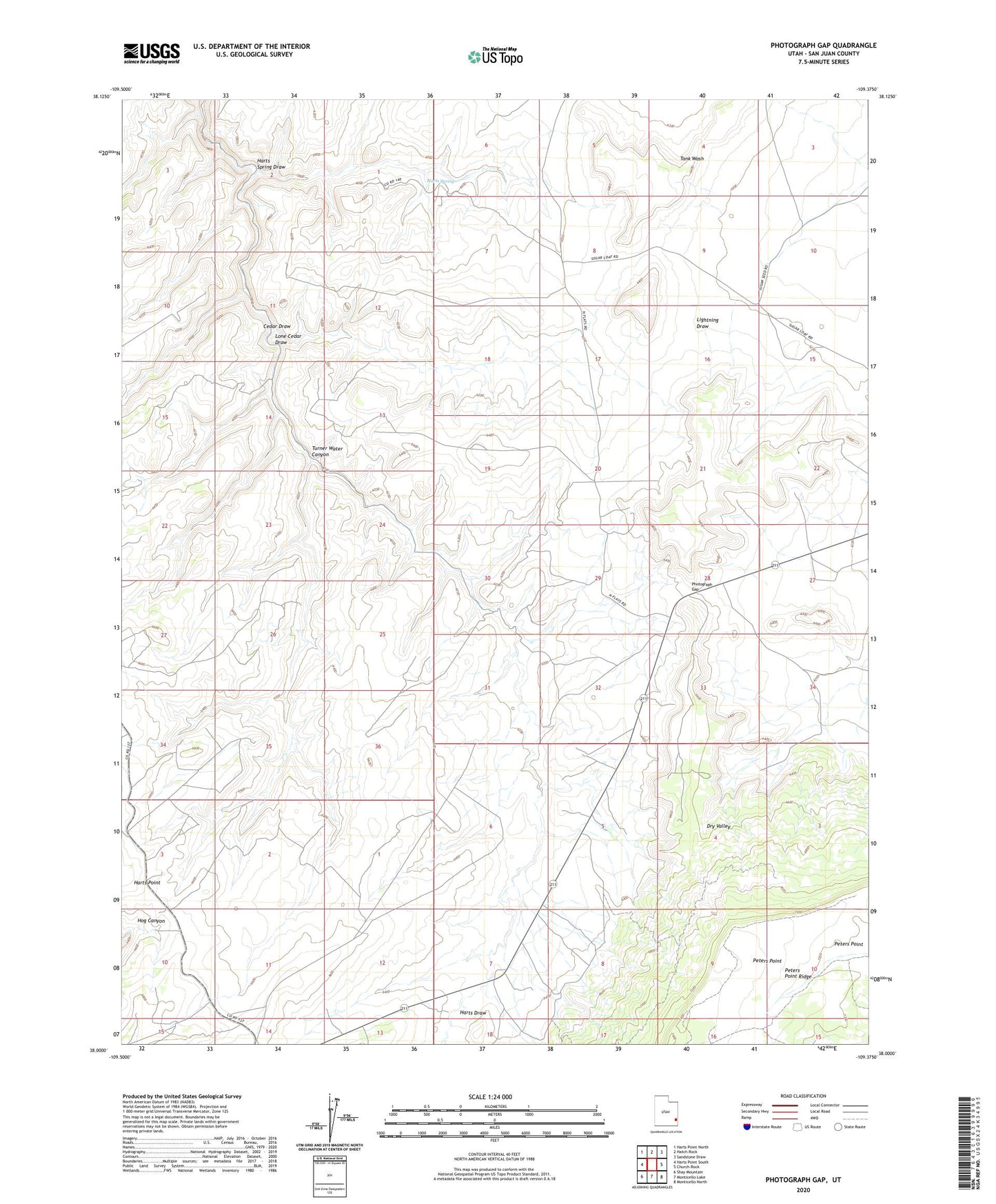
2020 topographic map quadrangle Photograph Gap in the state of Utah. Scale: 1:24000. Based on the newly updated USGS 7.5' US Topo map series, this map is in the following counties: San Juan. The map contains contour data, water features, and other items you are used to seeing on USGS maps, but also has updated roads and other features. This is the next generation of topographic maps. Printed on high-quality waterproof paper with UV fade-resistant inks.
Quads adjacent to this one:
West: Harts Point South
Northwest: Harts Point North
North: Hatch Rock
Northeast: Sandstone Draw
East: Church Rock
Southeast: Monticello North
South: Monticello Lake
Southwest: Shay Mountain
Contains the following named places: Cedar Draw, Harts Spring, Harts Spring Draw, Lone Cedar Draw, Monticello Division, Peters Point, Photograph Gap, The Seeps, Turner Water Canyon