MyTopo
Pine Valley Hardpan South Utah US Topo Map
Couldn't load pickup availability
Also explore the Pine Valley Hardpan South Forest Service Topo of this same quad for updated USFS data
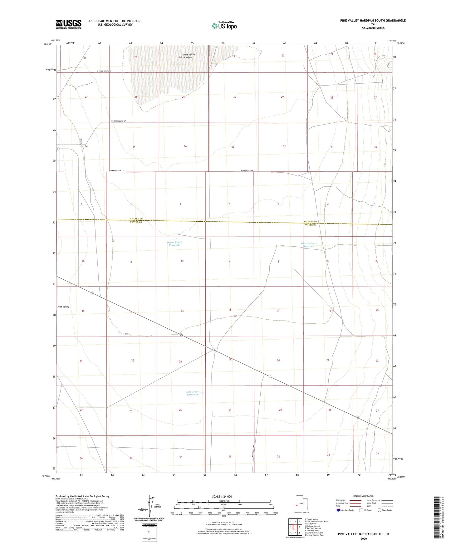
2023 topographic map quadrangle Pine Valley Hardpan South in the state of Utah. Scale: 1:24000. Based on the newly updated USGS 7.5' US Topo map series, this map is in the following counties: Beaver, Millard. The map contains contour data, water features, and other items you are used to seeing on USGS maps, but also has updated roads and other features. This is the next generation of topographic maps. Printed on high-quality waterproof paper with UV fade-resistant inks.
Quads adjacent to this one:
West: Halfway Summit
Northwest: Tunnel Spring
North: Pine Valley Hardpan North
Northeast: Grassy Cove
East: Wah Wah Summit
Southeast: Sewing Machine Pass
South: Lamerdorf Peak NW
Southwest: Sawtooth Peak
This map covers the same area as the classic USGS quad with code o38113e6.
Contains the following named places: Cow Camp Well, Cow Track Reservoir, Desert Ranch Reservoir, Desert Range Experimental Station Headquarters, Electric Fence Reservoir, Pine Valley Hardpan, Range Headquarters