MyTopo
Sawtooth Peak Utah US Topo Map
Couldn't load pickup availability
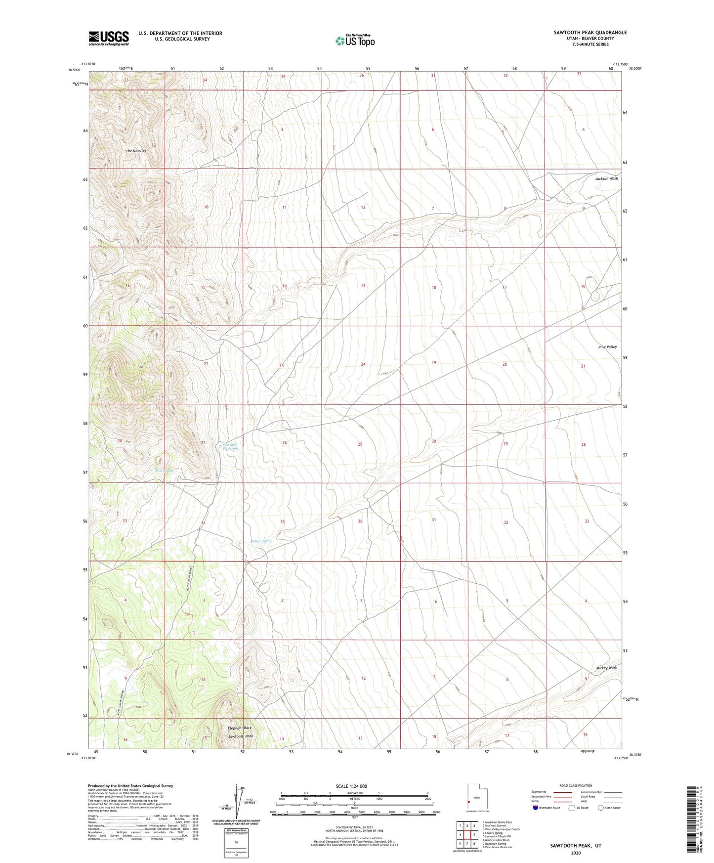
2023 topographic map quadrangle Sawtooth Peak in the state of Utah. Scale: 1:24000. Based on the newly updated USGS 7.5' US Topo map series, this map is in the following counties: Beaver. The map contains contour data, water features, and other items you are used to seeing on USGS maps, but also has updated roads and other features. This is the next generation of topographic maps. Printed on high-quality waterproof paper with UV fade-resistant inks.
Quads adjacent to this one:
West: Lopers Spring
Northwest: Mountain Home Pass
North: Halfway Summit
Northeast: Pine Valley Hardpan South
East: Lamerdorf Peak NW
Southeast: Pine Grove Reservoir
South: Buckhorn Spring
Southwest: Miners Cabin Wash
This map covers the same area as the classic USGS quad with code o38113d7.
Contains the following named places: Elephant Back, Mud Spring, Pots Sum Pa Spring, Sawtooth Peak, Willow Spring