MyTopo
Robbers Roost Flats Utah US Topo Map
Couldn't load pickup availability
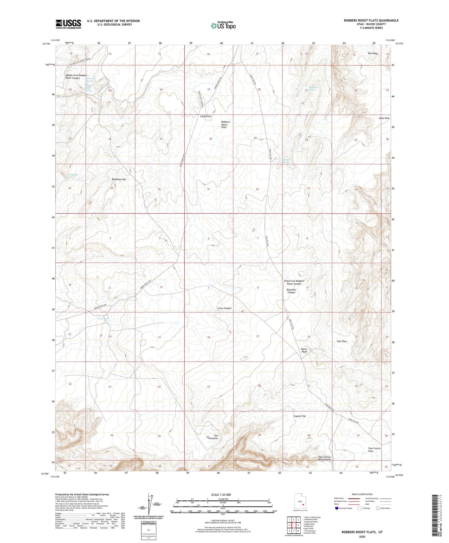
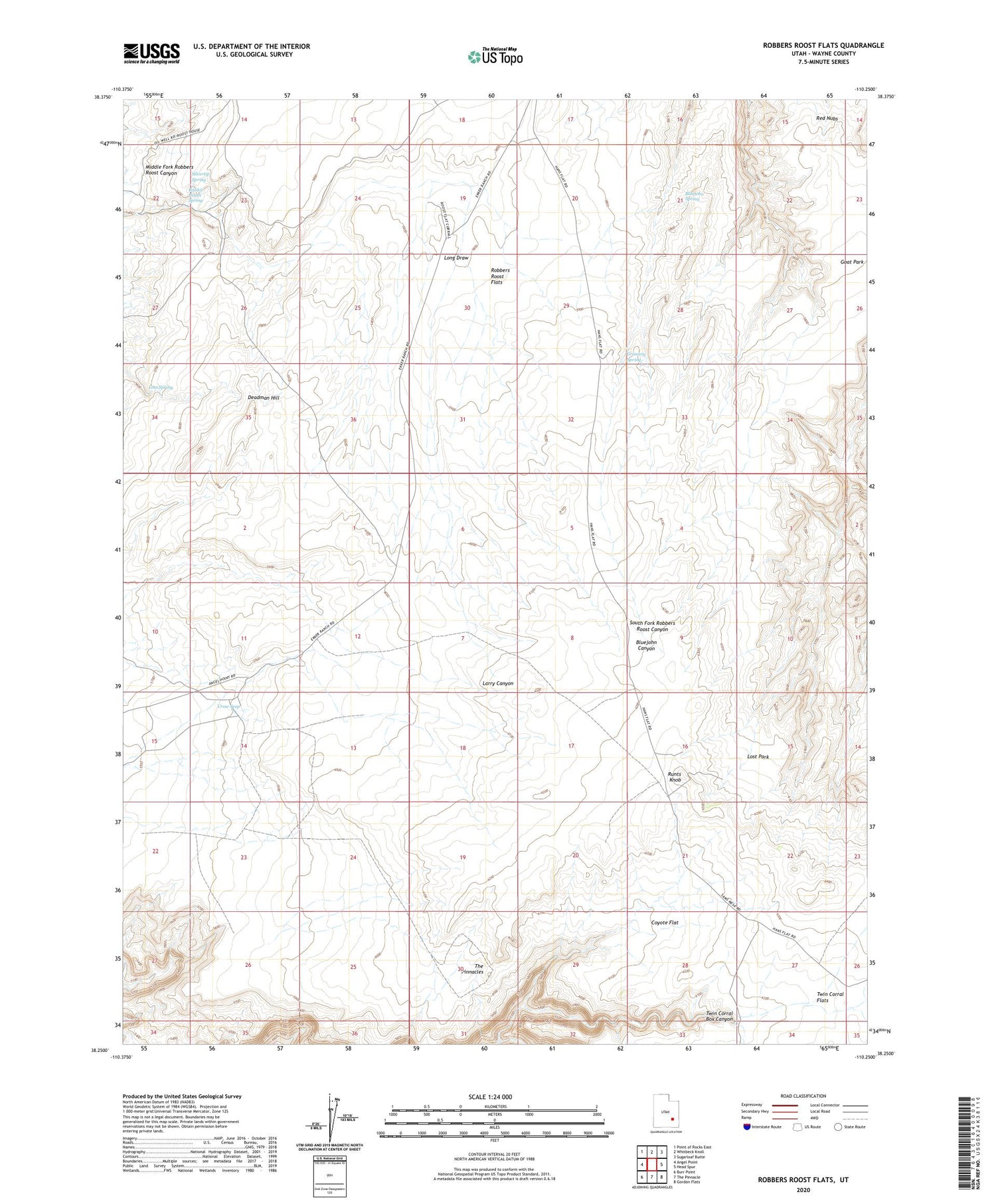
2020 topographic map quadrangle Robbers Roost Flats in the state of Utah. Scale: 1:24000. Based on the newly updated USGS 7.5' US Topo map series, this map is in the following counties: Wayne. The map contains contour data, water features, and other items you are used to seeing on USGS maps, but also has updated roads and other features. This is the next generation of topographic maps. Printed on high-quality waterproof paper with UV fade-resistant inks.
Quads adjacent to this one:
West: Angel Point
Northwest: Point of Rocks East
North: Whitbeck Knoll
Northeast: Sugarloaf Butte
East: Head Spur
Southeast: Gordon Flats
South: The Pinnacle
Southwest: Burr Point
Contains the following named places: Angel Trail, Biddlecome Ranch, Bluejohn Spring, Burr Pass, Coyote Flat, Crow Seep, Deadman Hill, Goat Park, Granary Spring, Long Draw, Lost Park, Lost Spring, Rabbit Brush Spring, Red Nubs, Robbers Roost Flats, Runts Knob, Silvertip Spring, The Pinnacles, Twin Corral Flats