MyTopo
Whitbeck Knoll Utah US Topo Map
Couldn't load pickup availability
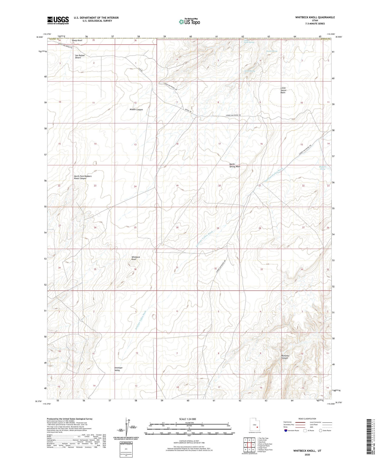
2023 topographic map quadrangle Whitbeck Knoll in the state of Utah. Scale: 1:24000. Based on the newly updated USGS 7.5' US Topo map series, this map is in the following counties: Wayne, Emery. The map contains contour data, water features, and other items you are used to seeing on USGS maps, but also has updated roads and other features. This is the next generation of topographic maps. Printed on high-quality waterproof paper with UV fade-resistant inks.
Quads adjacent to this one:
West: Point of Rocks East
Northwest: The Flat Tops
North: Jacks Knob
Northeast: Keg Knoll
East: Sugarloaf Butte
Southeast: Head Spur
South: Robbers Roost Flats
Southwest: Angel Point
This map covers the same area as the classic USGS quad with code o38110d3.
Contains the following named places: Antelope Valley Corral, Buffalo Pond, Hooch Spring, Little Saucer Basin, North Spring, North Spring Cabin, Sheep Knoll, Village Home Spring, Whitbeck Knoll