MyTopo
Smelter Knolls West Utah US Topo Map
Couldn't load pickup availability
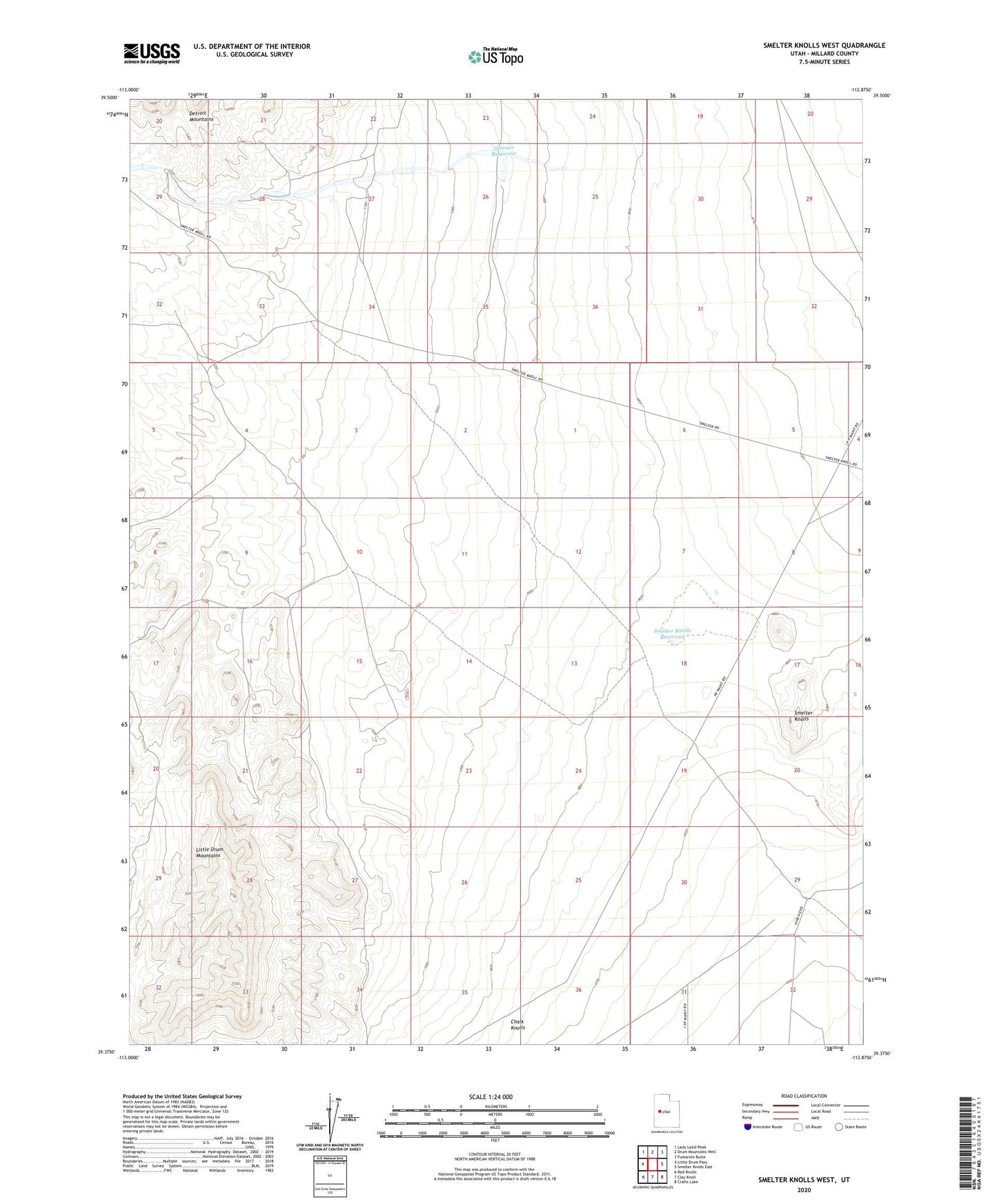
2023 topographic map quadrangle Smelter Knolls West in the state of Utah. Scale: 1:24000. Based on the newly updated USGS 7.5' US Topo map series, this map is in the following counties: Millard. The map contains contour data, water features, and other items you are used to seeing on USGS maps, but also has updated roads and other features. This is the next generation of topographic maps. Printed on high-quality waterproof paper with UV fade-resistant inks.
Quads adjacent to this one:
West: Little Drum Pass
Northwest: Lady Laird Peak
North: Drum Mountains Well
Northeast: Fumarole Butte
East: Smelter Knolls East
Southeast: Crafts Lake
South: Clay Knoll
Southwest: Red Knolls
This map covers the same area as the classic USGS quad with code o39112d8.
Contains the following named places: Greener Reservoir, Little Drum Well, Old Smelter Well, Smelter Knolls Reservoir