
MyTopo
Soapstone Basin Utah US Topo Map
Couldn't load pickup availability
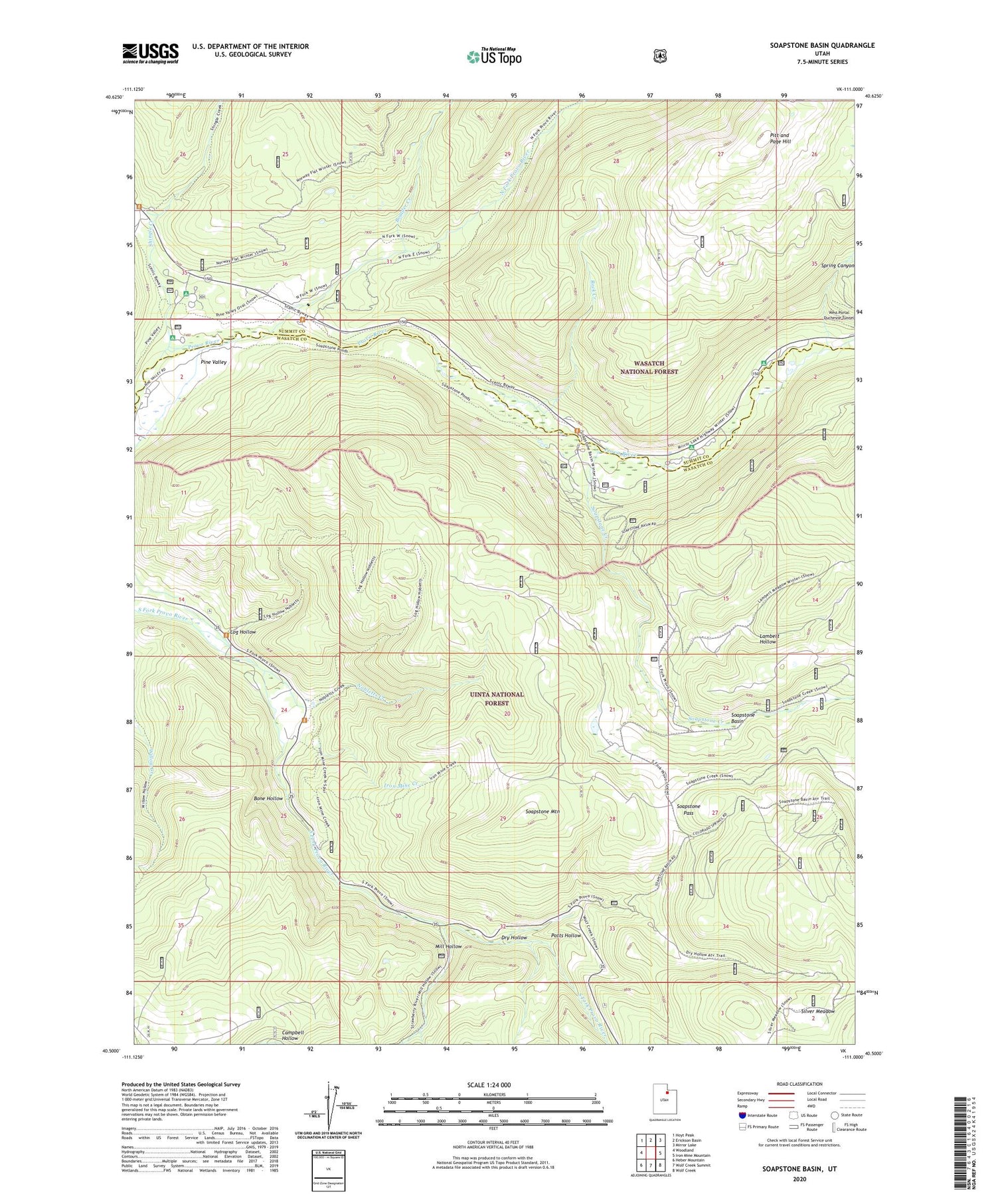
2020 topographic map quadrangle Soapstone Basin in the state of Utah. Scale: 1:24000. Based on the newly updated USGS 7.5' US Topo map series, this map is in the following counties: Wasatch, Summit. The map contains contour data, water features, and other items you are used to seeing on USGS maps, but also has updated roads and other features. This is the next generation of topographic maps. Printed on high-quality waterproof paper with UV fade-resistant inks.
Quads adjacent to this one:
West: Woodland
Northwest: Hoyt Peak
North: Erickson Basin
Northeast: Mirror Lake
East: Iron Mine Mountain
Southeast: Wolf Creek
South: Wolf Creek Summit
Southwest: Heber Mountain
Contains the following named places: Bone Hollow, Boulder Creek, Camp Roger, Dry Hollow, Iron Mine Creek, Lambert Hollow, Littles Fork Trail, Log Hollow, Lower Provo River Campground, Mill Hollow, Nobletts Administrative Site, Nobletts Creek, Nobletts Creek Trail, North Fork Provo River, Pine Valley Group Campground, Pitt and Page Hill, Piuta Camp, Potts Hollow, Provo River Overlook, Rock Creek, Shady Dell Campground, Shingle Creek, Silver Meadow, Soapstone Basin, Soapstone Campground, Soapstone Creek, Soapstone Guard Station, Soapstone Mountain, Soapstone Pass, Soapstone Summer Home Area, Spring Canyon, West Portal Duchesne Tunnel, YMCA Camp


