MyTopo
Spring Mountain Utah US Topo Map
Couldn't load pickup availability
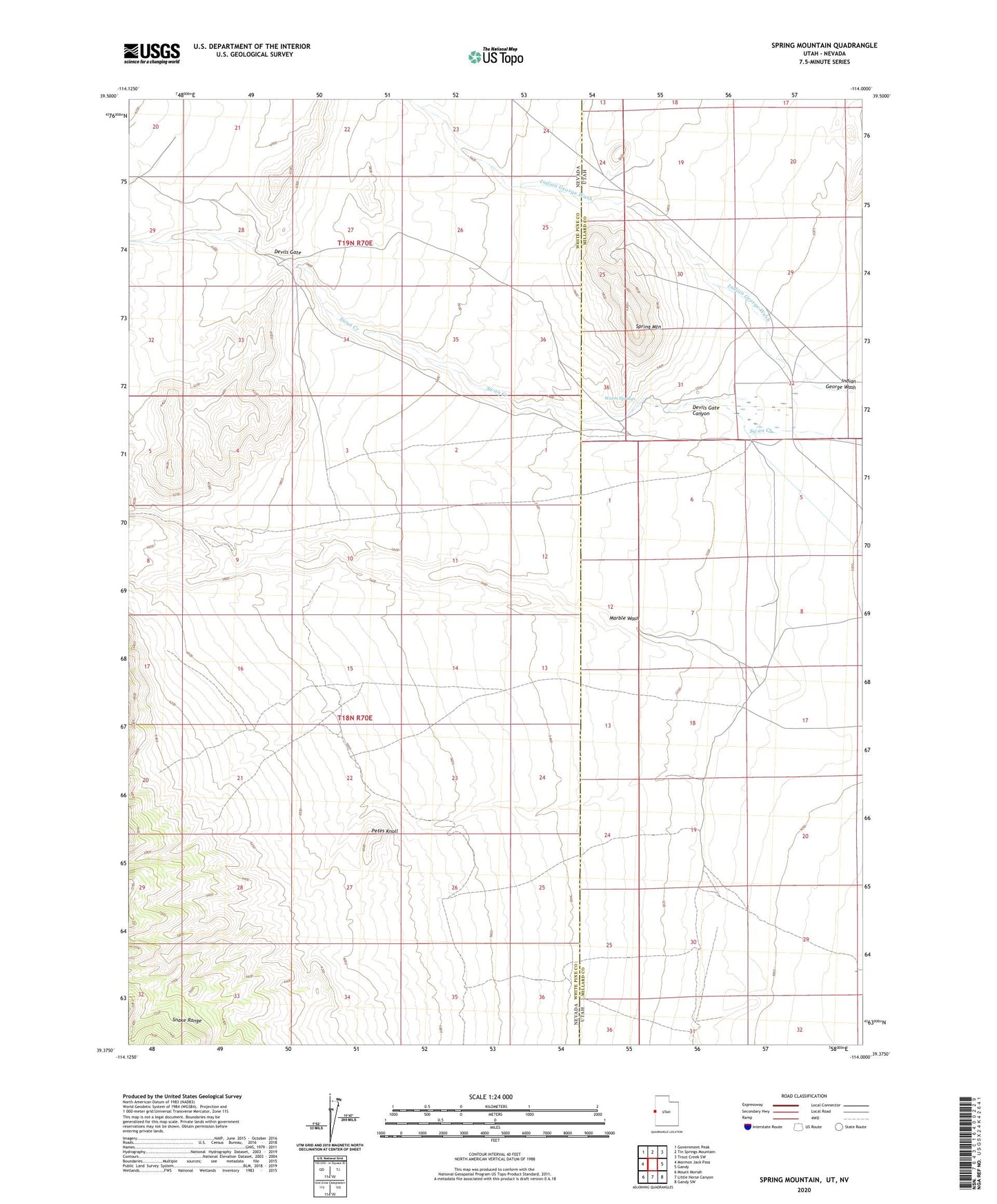
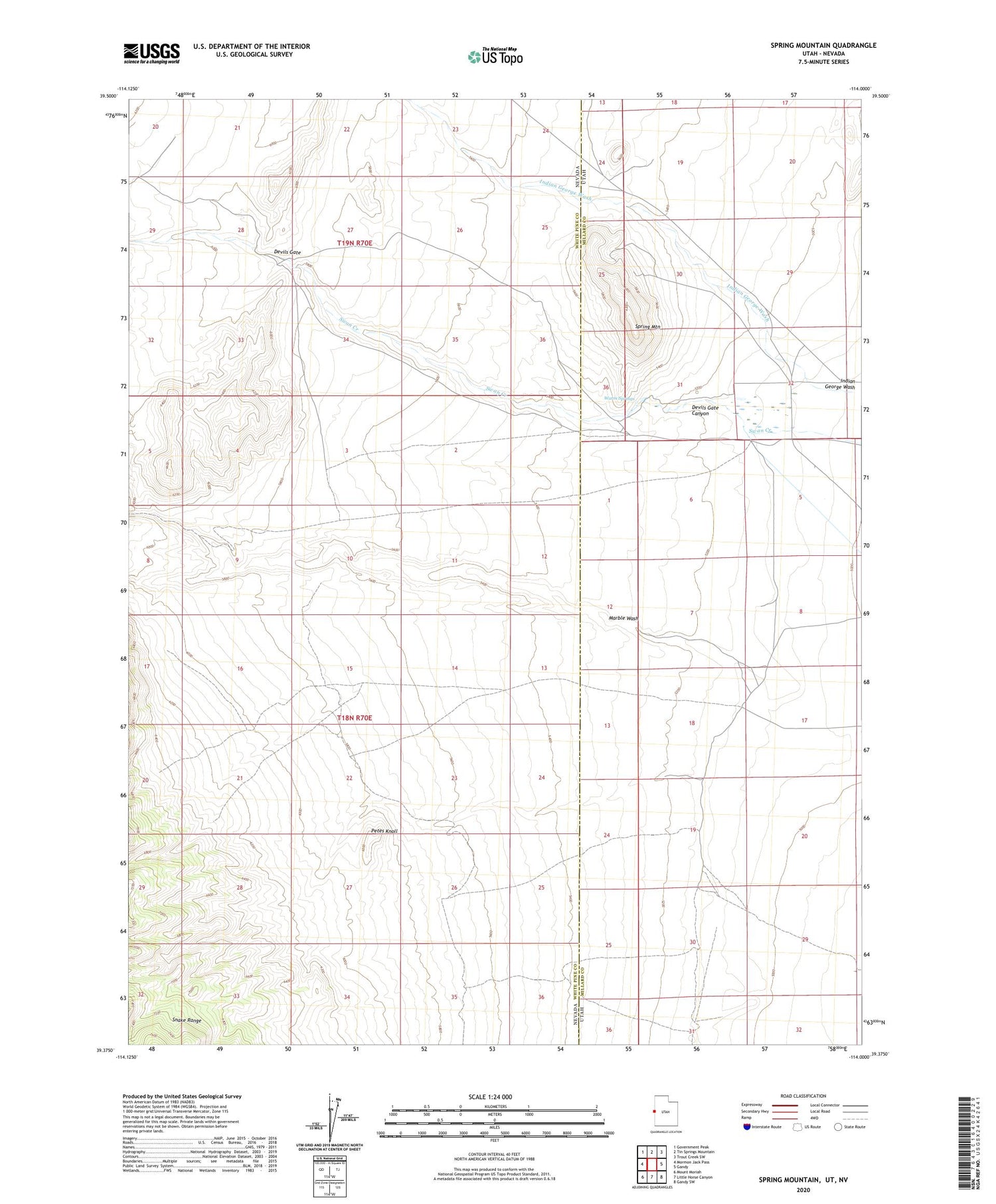
2023 topographic map quadrangle Spring Mountain in the states of Nevada, Utah. Scale: 1:24000. Based on the newly updated USGS 7.5' US Topo map series, this map is in the following counties: Millard, White Pine. The map contains contour data, water features, and other items you are used to seeing on USGS maps, but also has updated roads and other features. This is the next generation of topographic maps. Printed on high-quality waterproof paper with UV fade-resistant inks.
Quads adjacent to this one:
West: Mormon Jack Pass
Northwest: Government Peak
North: Tin Springs Mountain
Northeast: Trout Creek SW
East: Gandy
Southeast: Gandy SW
South: Little Horse Canyon
Southwest: Mount Moriah
This map covers the same area as the classic USGS quad with code o39114d1.
Contains the following named places: Devils Gate, Devils Gate Canyon, Indian George Wash, Marble Monster Mine, Marble Vale Mine, Petes Knoll, Spring Mountain, Swan Creek, Warm Springs