
MyTopo
Strawberry Reservoir SE Utah US Topo Map
Couldn't load pickup availability
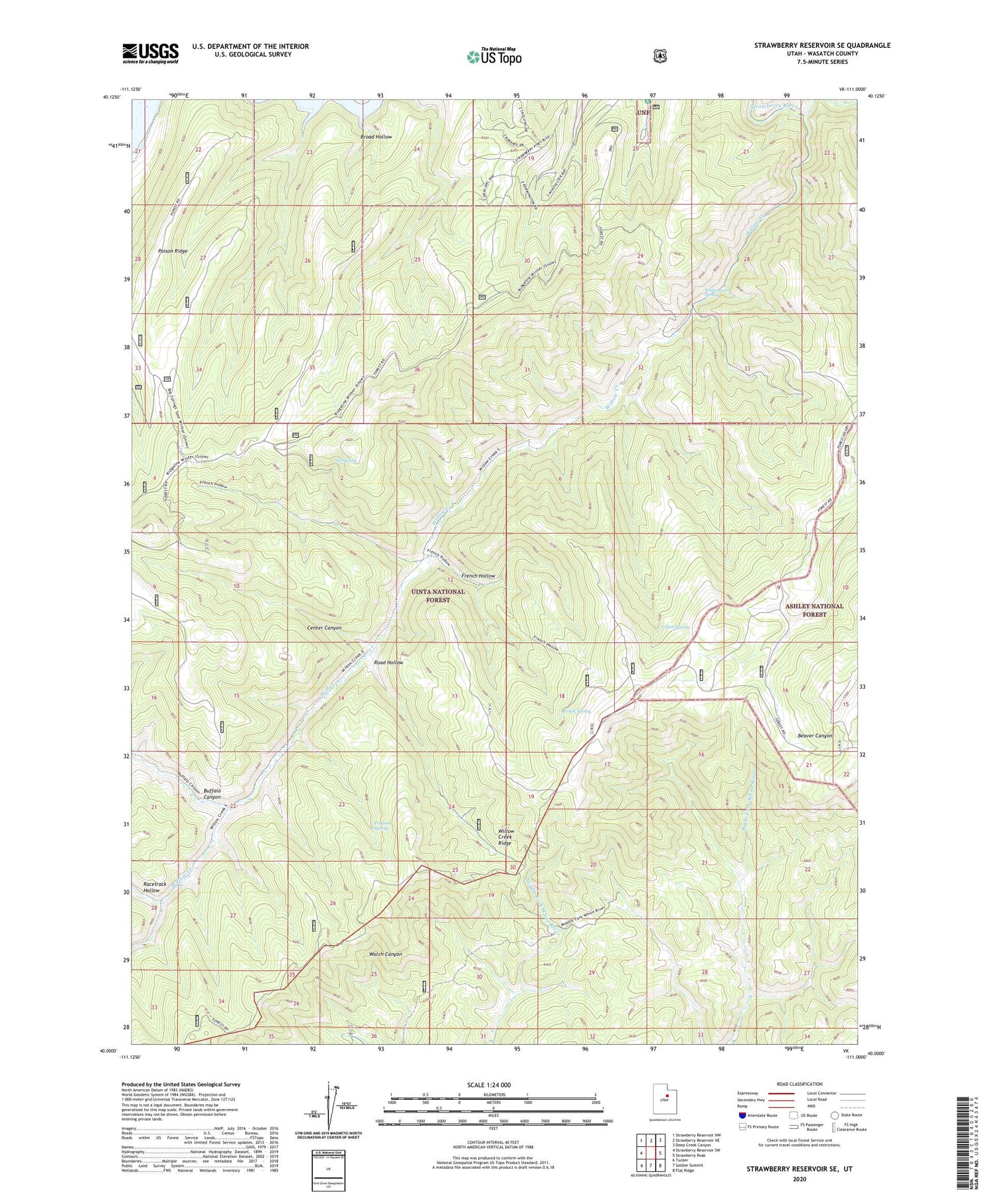
2020 topographic map quadrangle Strawberry Reservoir SE in the state of Utah. Scale: 1:24000. Based on the newly updated USGS 7.5' US Topo map series, this map is in the following counties: Wasatch. The map contains contour data, water features, and other items you are used to seeing on USGS maps, but also has updated roads and other features. This is the next generation of topographic maps. Printed on high-quality waterproof paper with UV fade-resistant inks.
Quads adjacent to this one:
West: Strawberry Reservoir SW
Northwest: Strawberry Reservoir NW
North: Strawberry Reservoir NE
Northeast: Deep Creek Canyon
East: Strawberry Peak
Southeast: Flat Ridge
South: Soldier Summit
Southwest: Tucker
Contains the following named places: Broad Hollow, Buffalo Canyon, Cabin Spring, Center Canyon, French Hollow, Indian Creek, Poison Ridge, Poulson Spring, Racetrack Hollow, Road Hollow, Sid Spring, Truck Spring, White Point Spring, Willow Creek, Willow Creek Ridge


