MyTopo
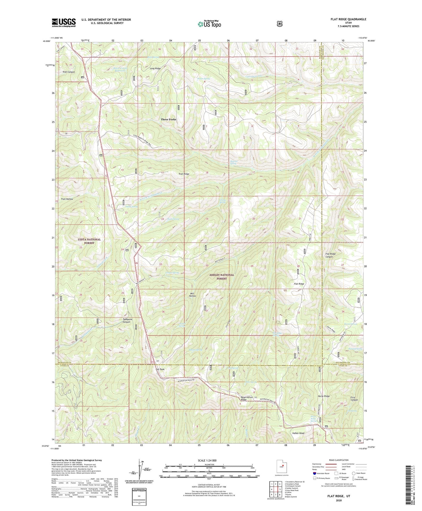
Flat Ridge Utah US Topo Map
Couldn't load pickup availability
Also explore the Flat Ridge Forest Service Topo of this same quad for updated USFS data
2023 topographic map quadrangle Flat Ridge in the state of Utah. Scale: 1:24000. Based on the newly updated USGS 7.5' US Topo map series, this map is in the following counties: Wasatch, Utah, Duchesne. The map contains contour data, water features, and other items you are used to seeing on USGS maps, but also has updated roads and other features. This is the next generation of topographic maps. Printed on high-quality waterproof paper with UV fade-resistant inks.
Quads adjacent to this one:
West: Soldier Summit
Northwest: Strawberry Reservoir SE
North: Strawberry Peak
Northeast: Avintaquin Canyon
East: Gray Head Peak
Southeast: Matts Summit
South: Kyune
Southwest: Colton
This map covers the same area as the classic USGS quad with code o39110h8.
Contains the following named places: Avintaquin Guard Station, Balsam Spring, Banjo Spring, Bowen Spring, Bown Corral Reservoir, Canyon Spring, Cat Peak, Chicken Spring, Colt Spring, Flat Ridge, Flat Ridge Canyon, Flat Ridge Spring, Grassy Spring, Horse Ridge, Horse Ridge Spring, Howard Spring, Indian Head, Indian Spring, Mill Hollow, Moymer Cabin, Moynier Spring, Ostler Spring, Pool Spring, Reservation Ridge, Shady Spring, Three Forks, Trail Reservoir, Trail Ridge, Weasel Spring