MyTopo
Tom Patterson Canyon Utah US Topo Map
Couldn't load pickup availability
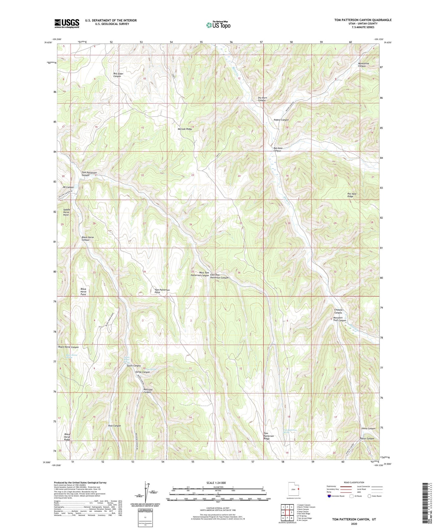
2023 topographic map quadrangle Tom Patterson Canyon in the state of Utah. Scale: 1:24000. Based on the newly updated USGS 7.5' US Topo map series, this map is in the following counties: Uintah. The map contains contour data, water features, and other items you are used to seeing on USGS maps, but also has updated roads and other features. This is the next generation of topographic maps. Printed on high-quality waterproof paper with UV fade-resistant inks.
Quads adjacent to this one:
West: Seep Canyon
Northwest: Cooper Canyon
North: Burnt Timber Canyon
Northeast: Davis Canyon
East: Rat Hole Ridge
Southeast: Jim Canyon
South: San Arroyo Ridge
Southwest: P R Spring
This map covers the same area as the classic USGS quad with code o39109e2.
Contains the following named places: Augusi Canyon, Black Horse Canyon, Black Horse Point, Black Horse Spring, Book Cliffs Natural Area, Chipeta Canyon, Dry Burn Canyon, East Tom Patterson Canyon, Gorge Canyon, Gorge Spring, Johns Canyon, McCook Ridge, Moccasin Trail Canyon, Moonshine Canyon, Pole Canyon, PR Canyon, Railroad Canyon, Rat Hole Canyon, South Canyon, Sweet Water Spring, Taylor Canyon, Tom Patterson Canyon, Tom Patterson Point, Tom Patterson Ridge, Tom Patterson Spring, West Tom Patterson Canyon