MyTopo
Topaz Mountain East Utah US Topo Map
Couldn't load pickup availability
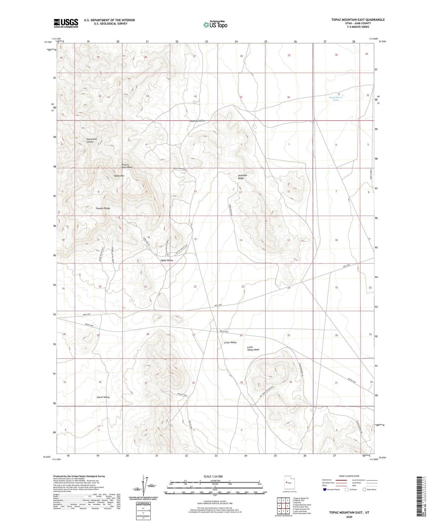
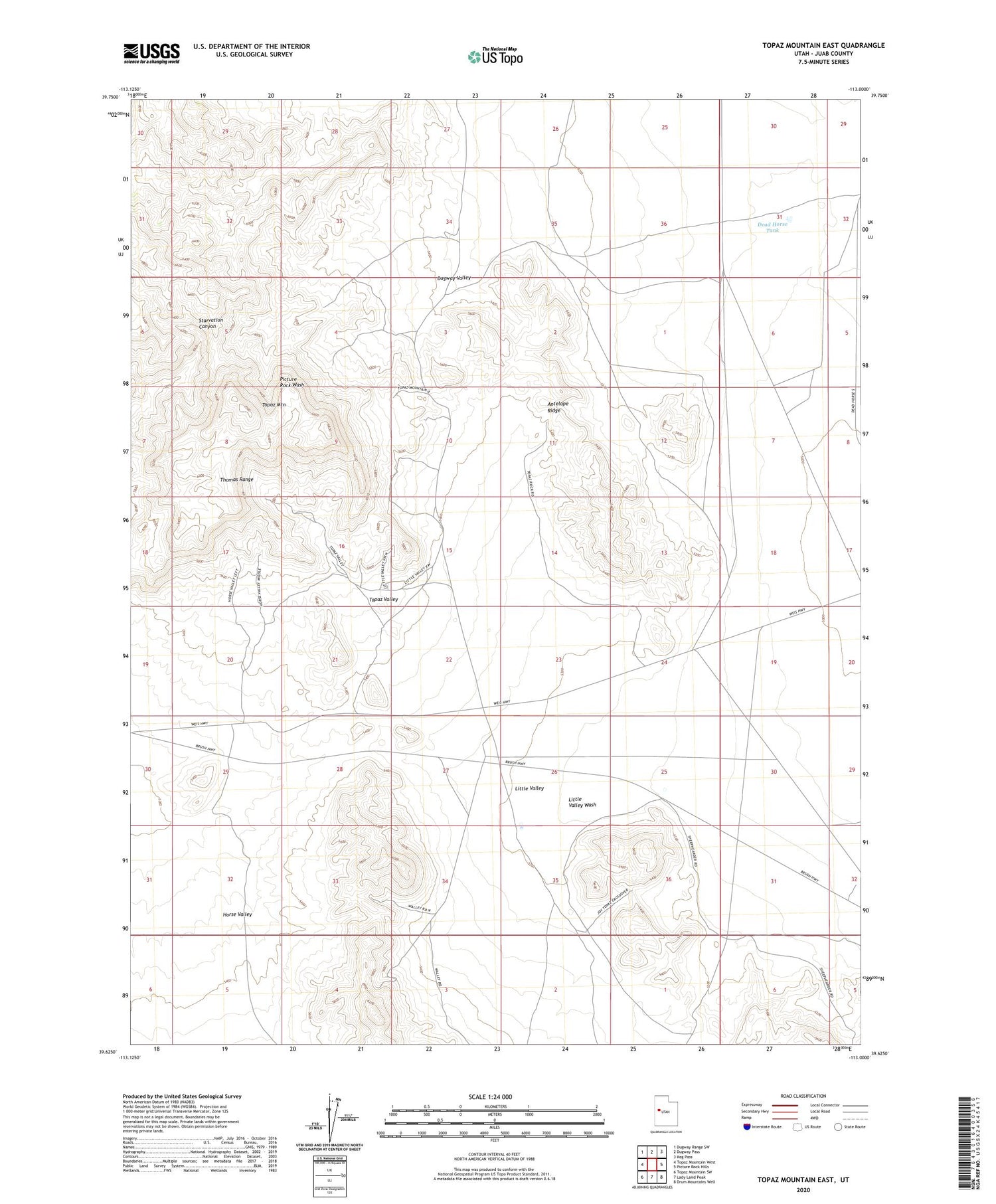
2020 topographic map quadrangle Topaz Mountain East in the state of Utah. Scale: 1:24000. Based on the newly updated USGS 7.5' US Topo map series, this map is in the following counties: Juab. The map contains contour data, water features, and other items you are used to seeing on USGS maps, but also has updated roads and other features. This is the next generation of topographic maps. Printed on high-quality waterproof paper with UV fade-resistant inks.
Quads adjacent to this one:
West: Topaz Mountain West
Northwest: Dugway Range SW
North: Dugway Pass
Northeast: Keg Pass
East: Picture Rock Hills
Southeast: Drum Mountains Well
South: Lady Laird Peak
Southwest: Topaz Mountain SW
Contains the following named places: Antelope Ridge, Dead Horse Tank, Greens Lake Debris Basin Number Three, Greens Lake Debris Basin Number Three Dam, Horse Valley, Little Valley, Topaz Mountain, Topaz Valley