MyTopo
Norton Pond Vermont US Topo Map
Couldn't load pickup availability
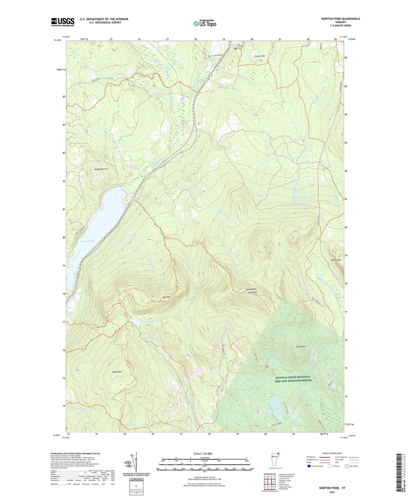
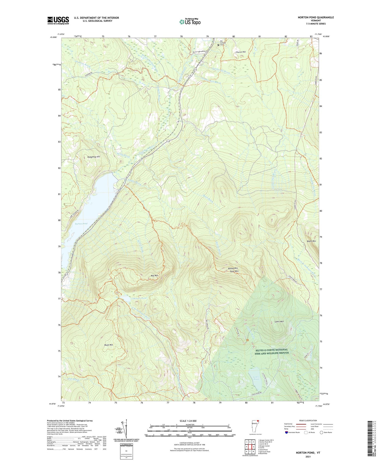
2021 topographic map quadrangle Norton Pond in the state of Vermont. Scale: 1:24000. Based on the newly updated USGS 7.5' US Topo map series, this map is in the following counties: Essex, Orleans. The map contains contour data, water features, and other items you are used to seeing on USGS maps, but also has updated roads and other features. This is the next generation of topographic maps. Printed on high-quality waterproof paper with UV fade-resistant inks.
Quads adjacent to this one:
West: Morgan Center
Northwest: Morgan Center OE N
North: Norton Pond OE N
Northeast: Averill OE N
East: Averill
Southeast: Bloomfield
South: Spectacle Pond
Southwest: Island Pond
Contains the following named places: Avery's Gore, Church Hill, Davis Brook, Gaudette Brook, Gaudette Tote Road, Gore Mountain, Gore Trail, Hedgehog Hill, Lake, Lewis Mountain, Lewis Pond, Logger Brook, Middle Mountain, Mosher Meadow Brook, Mount Gore Trail, Norton Pond, Norton Pond Dam, Number Five Brook, Number Six Brook, Number Six Road, Old Catholic Cemetery, Round Mountain, Station Brook, Sucker Brook, Sutton Brook, Swanson Dam, Town of Norton, Unknown Pond, Warren's Gore, ZIP Code: 05907