MyTopo
Cherry Hill Virginia US Topo Map
Couldn't load pickup availability
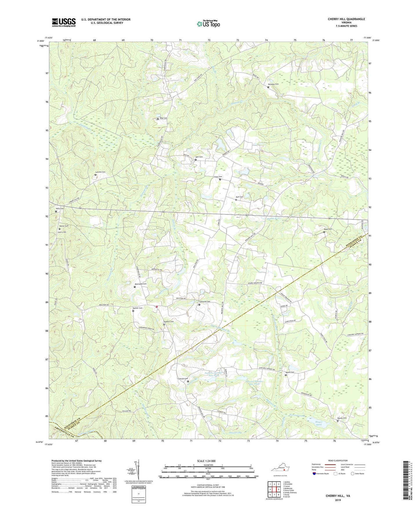
2019 topographic map quadrangle Cherry Hill in the state of Virginia. Scale: 1:24000. Based on the newly updated USGS 7.5' US Topo map series, this map is in the following counties: Dinwiddie, Sussex, Greensville. The map contains contour data, water features, and other items you are used to seeing on USGS maps, but also has updated roads and other features. This is the next generation of topographic maps. Printed on high-quality waterproof paper with UV fade-resistant inks.
Quads adjacent to this one:
West: McKenney
Northwest: DeWitt
North: Dinwiddie
Northeast: Carson
East: Stony Creek
Southeast: Jarratt
South: Purdy
Southwest: Smoky Ordinary
Contains the following named places: Abernathy Cemetery, Bain Cemetery, Barner Cemetery, Barnes Cemetery, Boisseau Cemetery, Bolster Cemetery, Bolsters Store, Carraway Cemetery, Cherry Hill, Concord Cemetery, Concord Church, Concord School, Double Branch Creek, Galusha Cemetery, Goodwyn School, Greenfield School, Horsepen Branch, Jones Cemetery, Lloyds Church, Manlove Branch, Masons School, Masontown School, Mayes Cemetery, Mayes Dam, Mayes Pond, Millrun Branch, Mount Olivet, Mount Olivet Church, Old Hickory Volunteer Fire Department Station 5, Parsons Number One Dam, Parsons Number One Pond, Parsons Number Two Dam, Parsons Number Two Pond, Pine Forest School, Reed Cemetery, Rideout Cemetery, Rita Branch, Rocky Mountain Church, Rocky Mountain School, Rose Cemetery, Smith Branch, Spring Meadow Branch, Stewart Branch, Truit, Wells Cemetery, Wharfs Store