MyTopo
Daleville Virginia US Topo Map
Couldn't load pickup availability
Also explore the Daleville Forest Service Topo of this same quad for updated USFS data
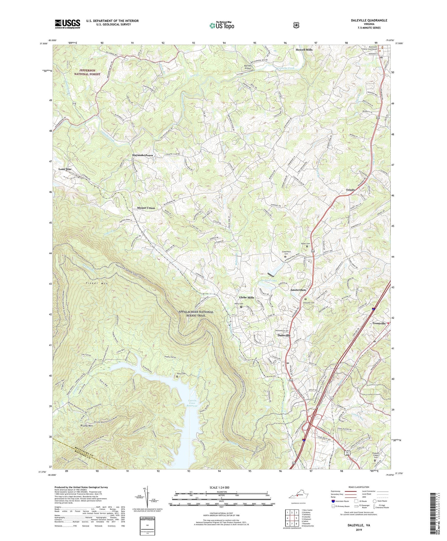
2022 topographic map quadrangle Daleville in the state of Virginia. Scale: 1:24000. Based on the newly updated USGS 7.5' US Topo map series, this map is in the following counties: Botetourt, Roanoke. The map contains contour data, water features, and other items you are used to seeing on USGS maps, but also has updated roads and other features. This is the next generation of topographic maps. Printed on high-quality waterproof paper with UV fade-resistant inks.
Quads adjacent to this one:
West: Catawba
Northwest: New Castle
North: Oriskany
Northeast: Salisbury
East: Villamont
Southeast: Stewartsville
South: Roanoke
Southwest: Salem
This map covers the same area as the classic USGS quad with code o37079d8.
Contains the following named places: Amsterdam, Amsterdam District, Angell Branch, Asbury School, Barrows Airport, Botetourt County Emergency Services Troutville, Botetourt County Sheriffs Office, Boyer Cemetery, Brushy Mountain, Buffalo Creek, Carvin Cove Reservoir, Cave Alum Springs, Churchill Cemetery, Coling Bible Chapel, Daleville, Daleville Census Designated Place, Daleville Church of the Brethren, Daleville Post Office, Fincastle, Fincastle Historic District, Fincastle Post Office, Fincastle Volunteer Fire Department, Fincastle Volunteer Fire Department Company 4, Fincastle Volunteer Rescue Squad 4, Forest Chapel Cemetery, Glebe Mills, Greenfield Cemetery, Greenfield Elementary School, Haymakertown, Lambuts Meadow Appalachian Trail Shelter, Lees Creek, Lemons Run, Lone Star, Lord Botetourt High School, Mount Union, Orchard Lake, Orchard Lake Dam, Peery Cemetery, Pleasant Dale Church, Pleasant Hill Church, Riley Cemetery, Rocky Branch, Rulman Branch, Sawmill Branch, Stone Coal Creek, Tinker Mountain, Town of Troutville, Trinity, Trinity Episcopal Church, Troutville Post Office, Troutville Volunteer Fire Department and Rescue Squad, WARL-AM (Cloverdale), Woodland Union Church, ZIP Codes: 24083, 24175


