MyTopo
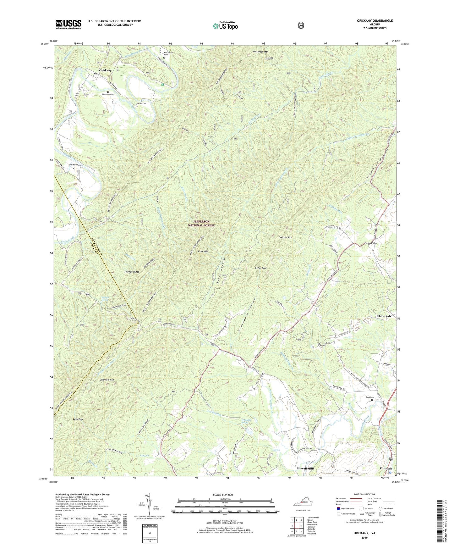
Oriskany Virginia US Topo Map
Couldn't load pickup availability
Also explore the Oriskany Forest Service Topo of this same quad for updated USFS data
2022 topographic map quadrangle Oriskany in the state of Virginia. Scale: 1:24000. Based on the newly updated USGS 7.5' US Topo map series, this map is in the following counties: Botetourt, Craig. The map contains contour data, water features, and other items you are used to seeing on USGS maps, but also has updated roads and other features. This is the next generation of topographic maps. Printed on high-quality waterproof paper with UV fade-resistant inks.
Quads adjacent to this one:
West: New Castle
Northwest: Jordan Mines
North: Strom
Northeast: Eagle Rock
East: Salisbury
Southeast: Villamont
South: Daleville
Southwest: Catawba
This map covers the same area as the classic USGS quad with code o37079e8.
Contains the following named places: Anderson Cemetery, Borden Creek, Botetourt County Jail, Botetourt County Sheriff's Office, Caldwell Mountain, Camp Montgomery, Craig Creek Campground, Crawford Cemetery, Crooked Run, Dry Run School, Fincastle Presbyterian Cemetery, Flatwoods, Flatwoods School, Green Spur, Howell Mills, Kelly Hollow, King Memorial Church, Lees Gap, Little Patterson Creek, McKalester Cemetery, Mount Pleasant Church, Mud Lick, New Hope School, North Fork Catawba Creek, North Fork Church, North Fork School, Oriskany, Oriskany Post Office, Patterson Mountain, Peck Cemetery, Poorhouse Hollow, Price Mountain, Schoolhouse Branch, Sugartree Hollow, Sukey Johnson Branch, Sulphur Ridge, Sulphur Spring, Switzer Mountain, Town Branch, Tucker Cemetery, Wilson Branch, Woodville Spring, ZIP Code: 24090