MyTopo
Fletcher Virginia US Topo Map
Couldn't load pickup availability
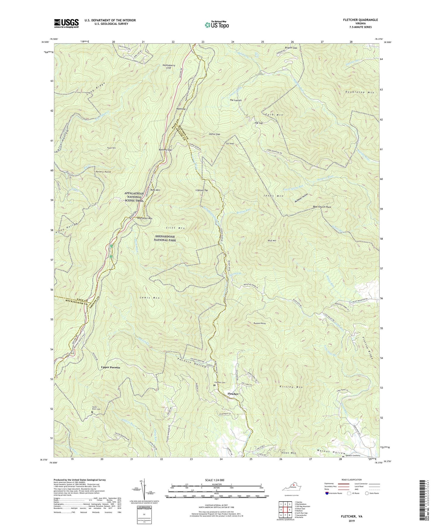
2022 topographic map quadrangle Fletcher in the state of Virginia. Scale: 1:24000. Based on the newly updated USGS 7.5' US Topo map series, this map is in the following counties: Madison, Greene, Page, Rockingham. The map contains contour data, water features, and other items you are used to seeing on USGS maps, but also has updated roads and other features. This is the next generation of topographic maps. Printed on high-quality waterproof paper with UV fade-resistant inks.
Quads adjacent to this one:
West: Elkton East
Northwest: Stanley
North: Big Meadows
Northeast: Old Rag Mountain
East: Madison
Southeast: Rochelle
South: Stanardsville
Southwest: Swift Run Gap
This map covers the same area as the classic USGS quad with code o38078d4.
Contains the following named places: Allen Hollow Trail, Bear Church Rock, Bearfence Mountain, Bearfence Mountain Shelter, Big Rock Falls, Bluff Mountain, Bootens Gap, Bootens Run, Broyles Gap, Bush Mountain, Bush Mountain Stream, Buzzard Rocks, Camp Shiloh, Cat Knob, Cliff Mountain, Collects Run, Devils Ditch, Doubletop Mountain, East Branch Naked Creek Trail, Flattop Ridge, Fletcher, Fletcher Cemetery, Fletcher Post Office, Fork Mountain, Garth Spring Run, Haunted Branch, Hazeltop, Hazeltop Ridge Overlook, Huckleberry Cliff, Jones Mountain, Jones Mountain Trail, Kirtley Mountain, Laurel Gap, Laurel Prong, Laurel Prong Trail, Lewis Mountain, Lewis Mountain Campground, Lewis Mountain Trail, Lighted Top, Little Creek, Long Point Branch, Lower Pocosin Mission, Maucks Mill, McDaniel Hollow, Meadows School, Middle River Chapel, Mill Prong, Mill Prong Trail, Naked Creek Overlook, Peters Point, Pocosin Cabin, Pocosin Creek, Pocosin Hollow, Pocosin Hollow Trail, Pocosin Trail, Powell Mountain, Powell Mountain Trail, Rapidan Camp, Rapidan Wildlife Management Area, Roach Mission, Shenandoah National Park, Shiloh Church, South River Cemetery, Staunton River Trail, The Laurels, The Oaks Overlook, The Point Overlook, The Sag, Towles, Towles Post Office, Upper Pocosin, Upper Pocosin Mission, Wallace Cemetery, Walnut Hollow, West Branch Naked Creek Trail, Wilson Run


