MyTopo
Fulks Run Virginia US Topo Map
Couldn't load pickup availability
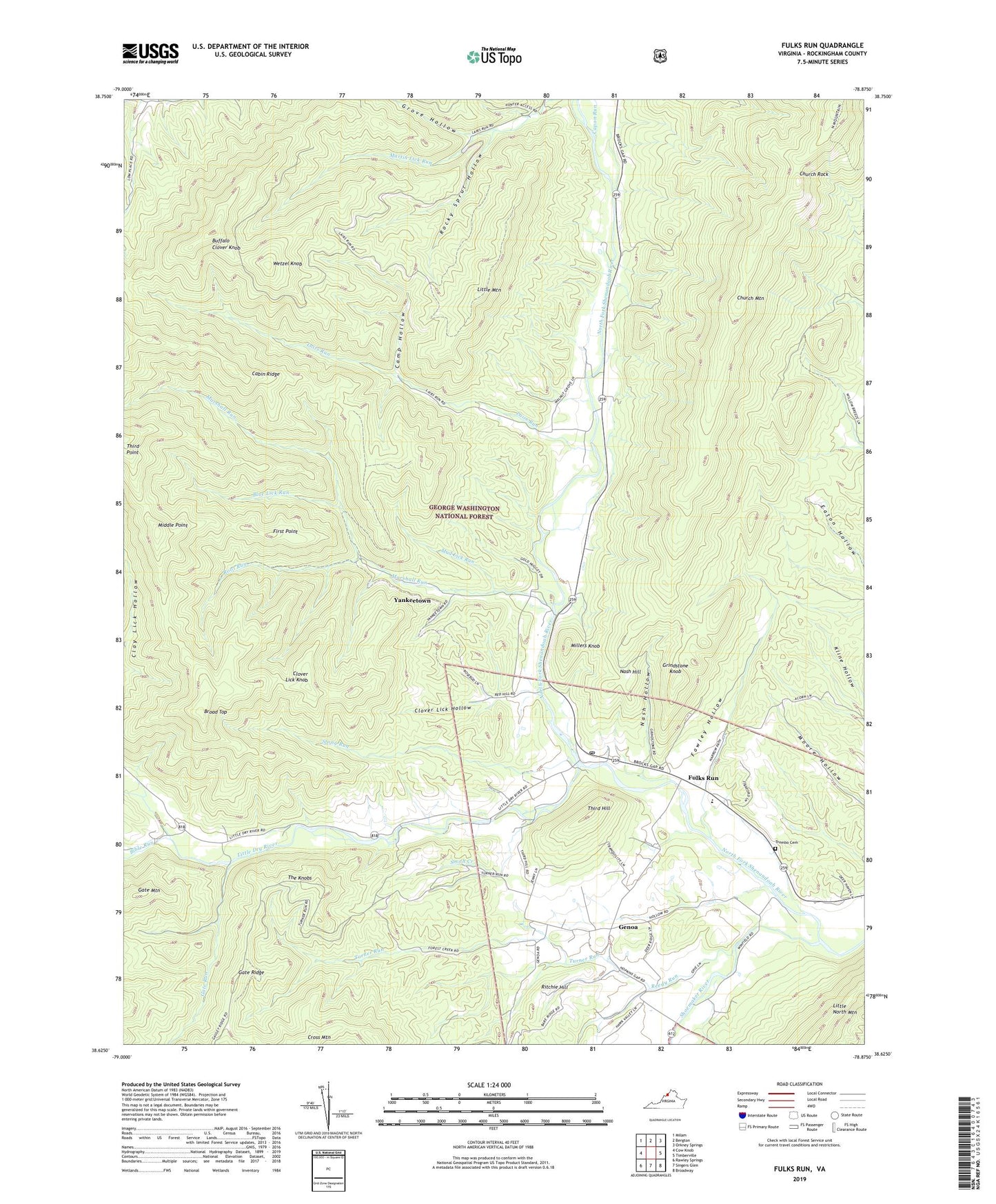
2019 topographic map quadrangle Fulks Run in the state of Virginia. Scale: 1:24000. Based on the newly updated USGS 7.5' US Topo map series, this map is in the following counties: Rockingham. The map contains contour data, water features, and other items you are used to seeing on USGS maps, but also has updated roads and other features. This is the next generation of topographic maps. Printed on high-quality waterproof paper with UV fade-resistant inks.
Quads adjacent to this one:
West: Cow Knob
Northwest: Milam
Northeast: Orkney Springs
East: Timberville
Southeast: Broadway
South: Singers Glen
Southwest: Rawley Springs
Contains the following named places: Bible Run, Blue Lick Run, Broad Top, Buffalo Clover Knob, Cabin Ridge, Cabin Ridge Dairy, Camp Hollow, Capon Run, Church Rock, Claycomb Dam, Clover Lick Hollow, Clover Lick Knob, Fawley Hollow, First Point, Fulks Run, Fulks Run Church, Fulks Run Elementary School, Fulks Run Post Office, Fulks Run School, Gate Run, Genoa, Genoa School, Grindstone Knob, Grove Hollow, Hebron Church, Lairs Run, Little Dry River, Little Mountain, Marshall Run, Middle Point, Millers Knob, Mount Carmel Church, Mount Pleasant School, Mountain Grove Church, Mud Lick Run, Nash Hill, Nash Hollow, Pentacostal Church, Reedy Run, Ritchie Hill, Riverside Church, Rocky Sprur Hollow, Root Run, Shoemaker River, Smith Creek, Stony Run, The Knobs, Third Hill, Trumbo Cemetery, Turner Run, Wetzel Knob, Yankeetown, ZIP Code: 22830