MyTopo
Hanover Academy Virginia US Topo Map
Couldn't load pickup availability
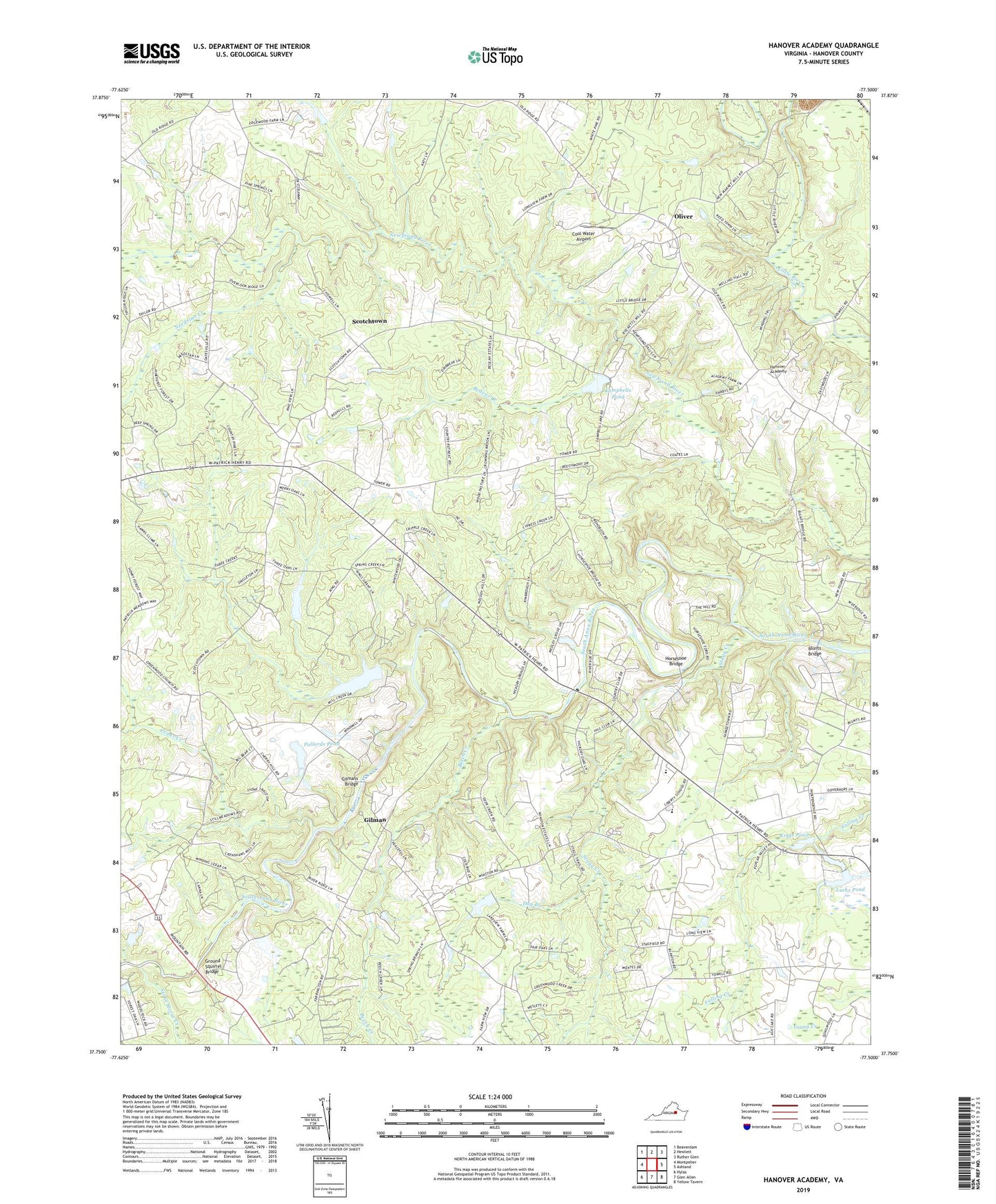
2019 topographic map quadrangle Hanover Academy in the state of Virginia. Scale: 1:24000. Based on the newly updated USGS 7.5' US Topo map series, this map is in the following counties: Hanover. The map contains contour data, water features, and other items you are used to seeing on USGS maps, but also has updated roads and other features. This is the next generation of topographic maps. Printed on high-quality waterproof paper with UV fade-resistant inks.
Quads adjacent to this one:
West: Montpelier
Northwest: Beaverdam
North: Hewlett
Northeast: Ruther Glen
East: Ashland
Southeast: Yellow Tavern
South: Glen Allen
Southwest: Hylas
Contains the following named places: Beaver Creek, Beaverdam District, Beech Creek, Blunts Bridge, Brookmeade Sod Farm, Campbell Dam, Campbells Pond, Cedar Creek, Cool Water Airport, Cross Mill, Dog Branch, Ebenezer Church, Federal Club, Fork Church, Gilman, Gilmans Bridge, Greenwood Church, Ground Squirrel Bridge, Hanover Academy, Hanover Country Club, Hanover County Fire / Emergency Medical Services Headquarters / Training Center, Holstrum Dam, Holstrum Pond, Horseshoe Bridge, Independence Church, Janeway Airstrip, Jones Dam Number One, Jones Lake, Kings Chapel, Kings Pond, Kings Pond Dam, Liberty Middle School, Lucks Dam, Lucks Pond, Mount Olivet Church, Needstan Creek, Negro Foot, Oliver, Patrick Henry High School, Pollards Dam, Pollards Pond, Rocketts Mills, Scotchtown, Sneeds Mill, Stagg Creek, Stanley Dam, Stone Horse Creek, The Church of Truth, Yates Memorial Tabernacle, Young Creek