MyTopo
Lively Virginia US Topo Map
Couldn't load pickup availability
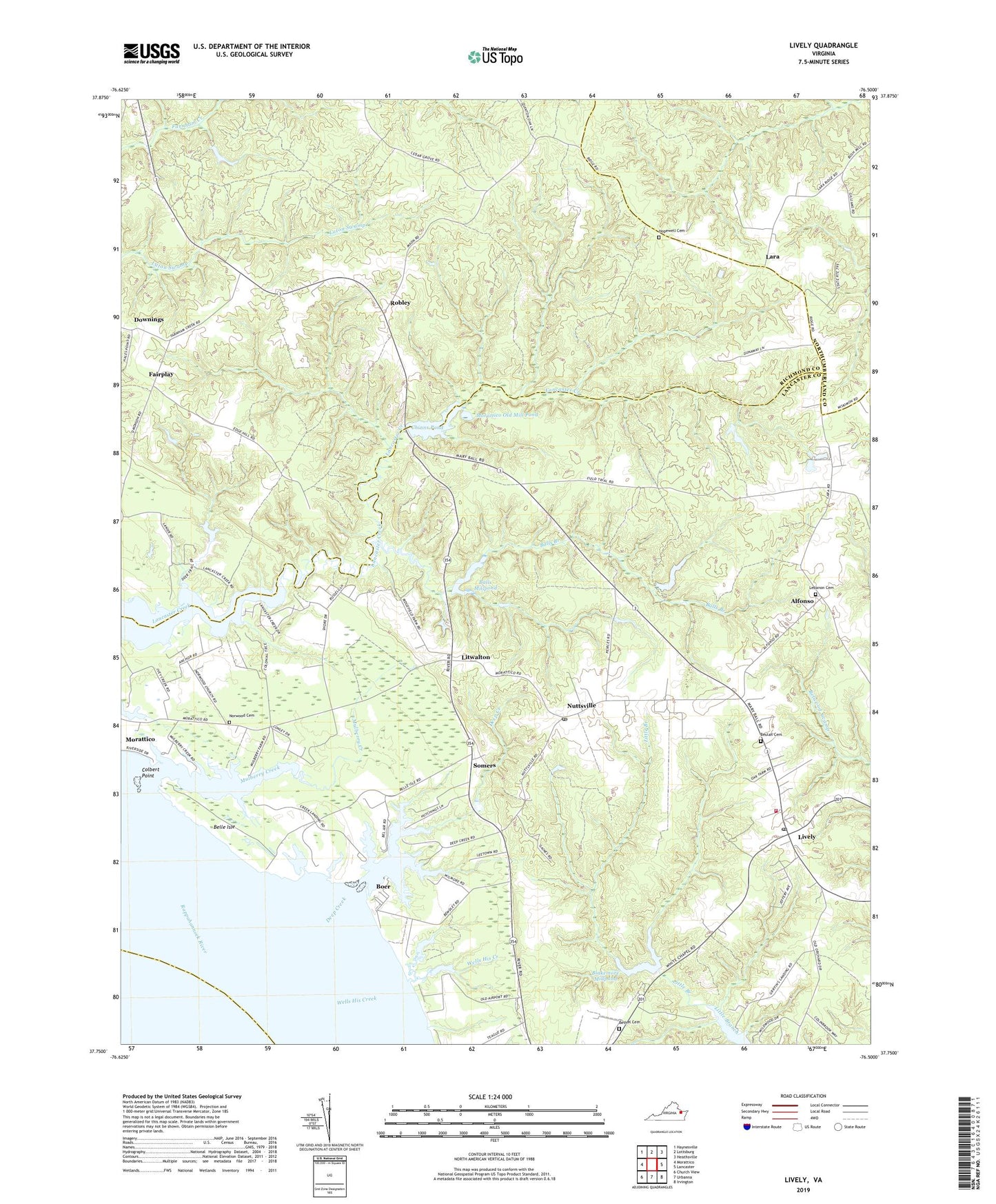
2019 topographic map quadrangle Lively in the state of Virginia. Scale: 1:24000. Based on the newly updated USGS 7.5' US Topo map series, this map is in the following counties: Lancaster, Richmond, Northumberland, Middlesex. The map contains contour data, water features, and other items you are used to seeing on USGS maps, but also has updated roads and other features. This is the next generation of topographic maps. Printed on high-quality waterproof paper with UV fade-resistant inks.
Quads adjacent to this one:
West: Morattico
Northwest: Haynesville
North: Lottsburg
Northeast: Heathsville
East: Lancaster
Southeast: Irvington
South: Urbanna
Southwest: Church View
Contains the following named places: Alfonso, Balls Branch, Balls Mill, Balls Millpond, Balls Millpond Dam, Belle Isle, Bethel Cemetery, Bethel Church, Beulah Cemetery, Beulah Church, Blackmore Millpond Dam, Blakemore Millpond, Boer, Bridgetown, Bush School, Chinns Dam, Chinns Mill, Chinns Pond, Colbert Point, Deep Creek, District 4, Downings, Fairplay, Foxs Mill Dam, Griffins Landing, Hopewell Cemetery, Hopewell Church, Lanier-Davis Dam, Lara, Lebanon Baptist Church Cemetery, Lebanon Church, Litwalton, Lively, Lively Post Office, Lively School, Maon Church, Marsh Dam, Moon Corner, Morattico Old Mill Pond, Mount Zion Baptist Church, Mulberry Creek, Norwood Baptist Church Cemetery, Norwood Church, Nuttsville, Nuttsville Post Office, Pierces Corner, Pollards Mill, Robley, Somers, Upper Lancaster Volunteer Fire Department, Upper Lancaster Volunteer Rescue Squad, Wells His Creek, Woodhouse Landing, ZIP Codes: 22460, 22503