MyTopo
Mount Airy Virginia US Topo Map
Couldn't load pickup availability
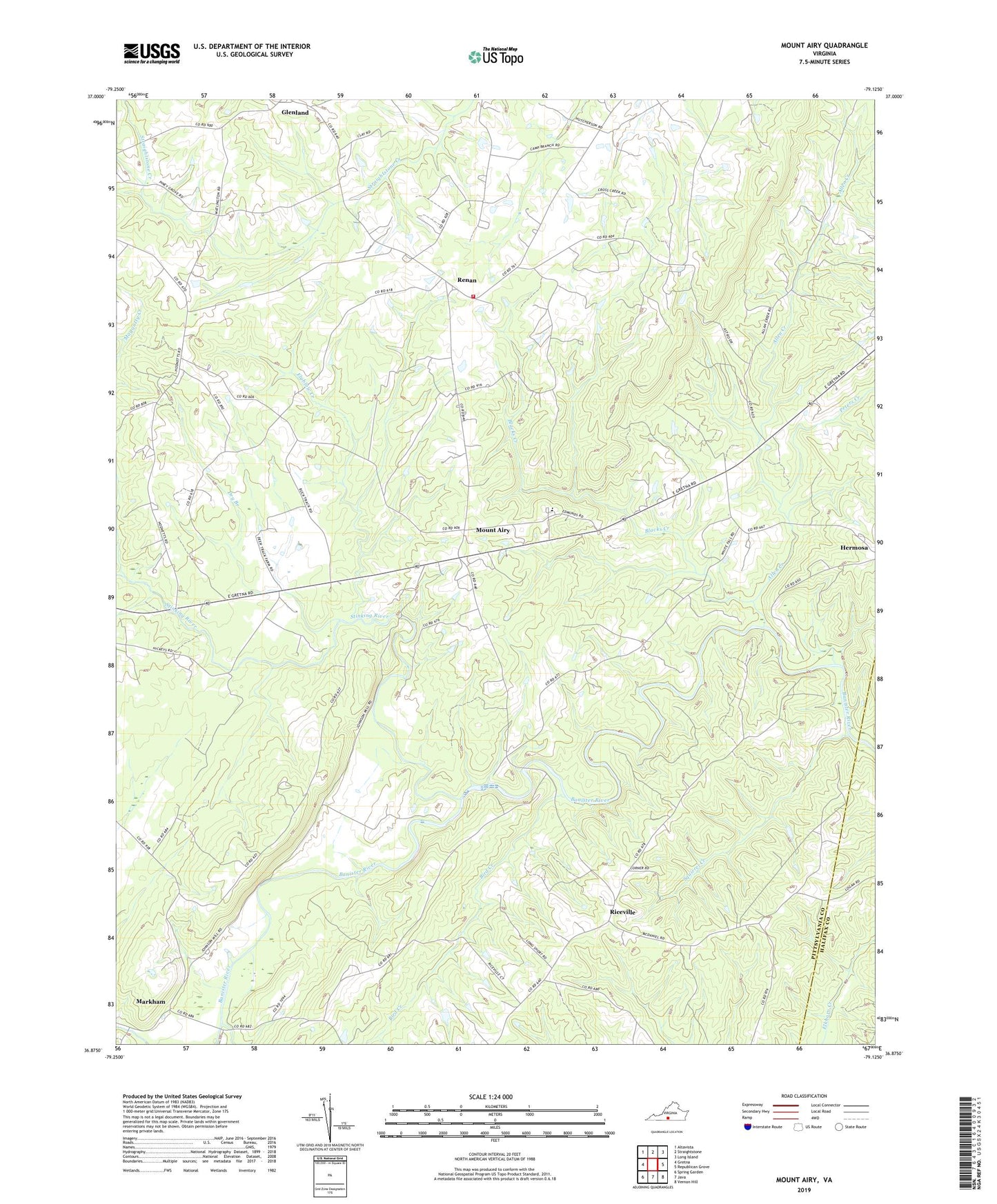
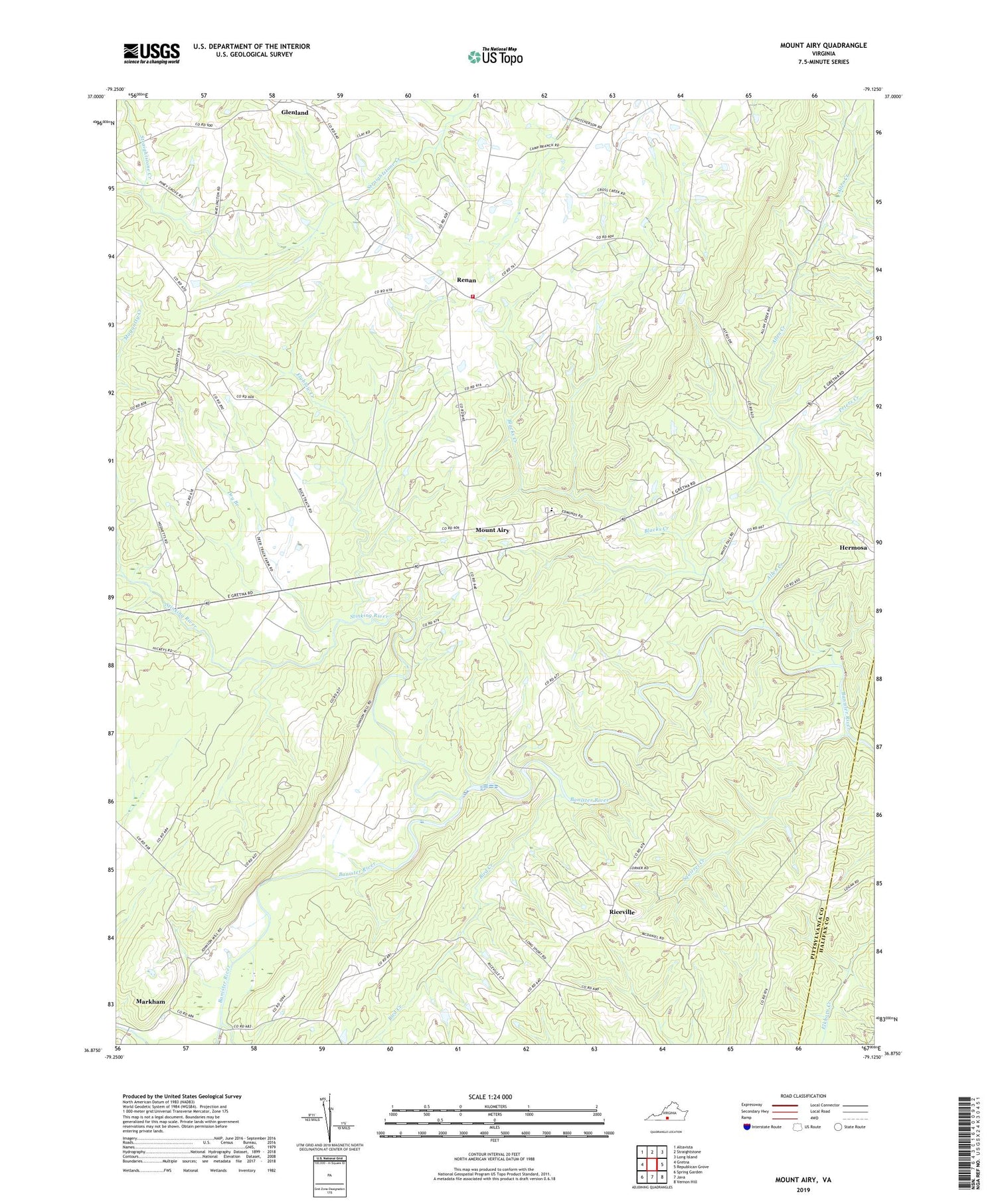
2019 topographic map quadrangle Mount Airy in the state of Virginia. Scale: 1:24000. Based on the newly updated USGS 7.5' US Topo map series, this map is in the following counties: Pittsylvania, Halifax. The map contains contour data, water features, and other items you are used to seeing on USGS maps, but also has updated roads and other features. This is the next generation of topographic maps. Printed on high-quality waterproof paper with UV fade-resistant inks.
Quads adjacent to this one:
West: Gretna
Northwest: Altavista
North: Straightstone
Northeast: Long Island
East: Republican Grove
Southeast: Vernon Hill
South: Java
Southwest: Spring Garden
Contains the following named places: 640 Community Rescue Squad, Allen Creek, Bird Creek, Blacks Creek, Carter Glass School, Cody Church, Dry Branch, Flyblow Creek, Glenland, Maggotty Creek, Markham, Markham Church, Mount Airy, Mount Airy Elementary School, Peters Creek, Piney Grove Church, Renan, Renan School, Renan Volunteer Fire Department, Riceville, Riceville Baptist Church, Saint Andrews Church, Saint Johns Church, Shields School, Shockoe Creek, Squirrel Creek, Stinking River