MyTopo
Poquoson East Virginia US Topo Map
Couldn't load pickup availability
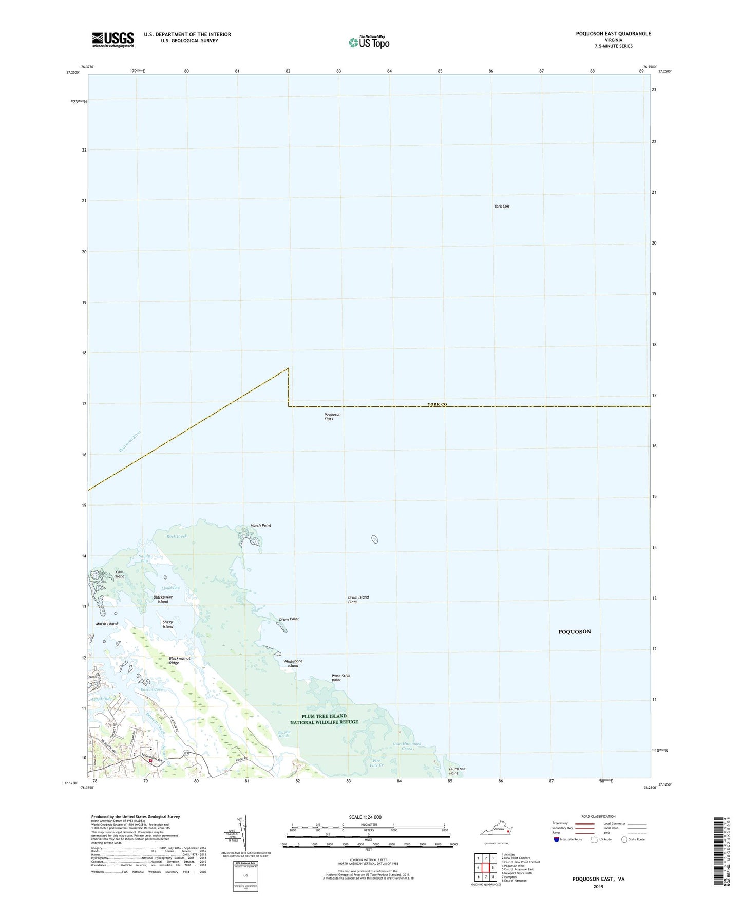
2022 topographic map quadrangle Poquoson East in the state of Virginia. Scale: 1:24000. Based on the newly updated USGS 7.5' US Topo map series, this map is in the following counties: Poquoson (city), York. The map contains contour data, water features, and other items you are used to seeing on USGS maps, but also has updated roads and other features. This is the next generation of topographic maps. Printed on high-quality waterproof paper with UV fade-resistant inks.
Quads adjacent to this one:
West: Poquoson West
Northwest: Achilles
North: New Point Comfort
Northeast: East of New Point Comfort
East: East of Poquoson East
Southeast: East of Hampton
South: Hampton
Southwest: Newport News North
This map covers the same area as the classic USGS quad with code o37076b3.
Contains the following named places: Bible Baptist Church, Big Salt Marsh, Blacksnake Island, Blackwalnut Ridge, City of Poquoson, Cow Island, District 3, Drum Island Flats, Drum Point, Easton Cove, Fire Pine Creek, Floyds Bay, Gum Hammock Creek, Lloyd Bay, Marsh Island, Marsh Point, Odd, Plum Tree Island National Wildlife Refuge, Plumtree Island, Plumtree Point, Poquoson City Fire and Rescue Station 1, Poquoson Elementary School, Poquoson Flats, Poquoson Middle School, Rock Creek, Sandy Bay, Sheep Island, Thorofare Creek, Ware Stick Point, Whalebone Island, York County, York Spit, York Spit Lighthouse, ZIP Code: 23662