MyTopo
Wachapreague OE E Virginia US Topo Map
Couldn't load pickup availability
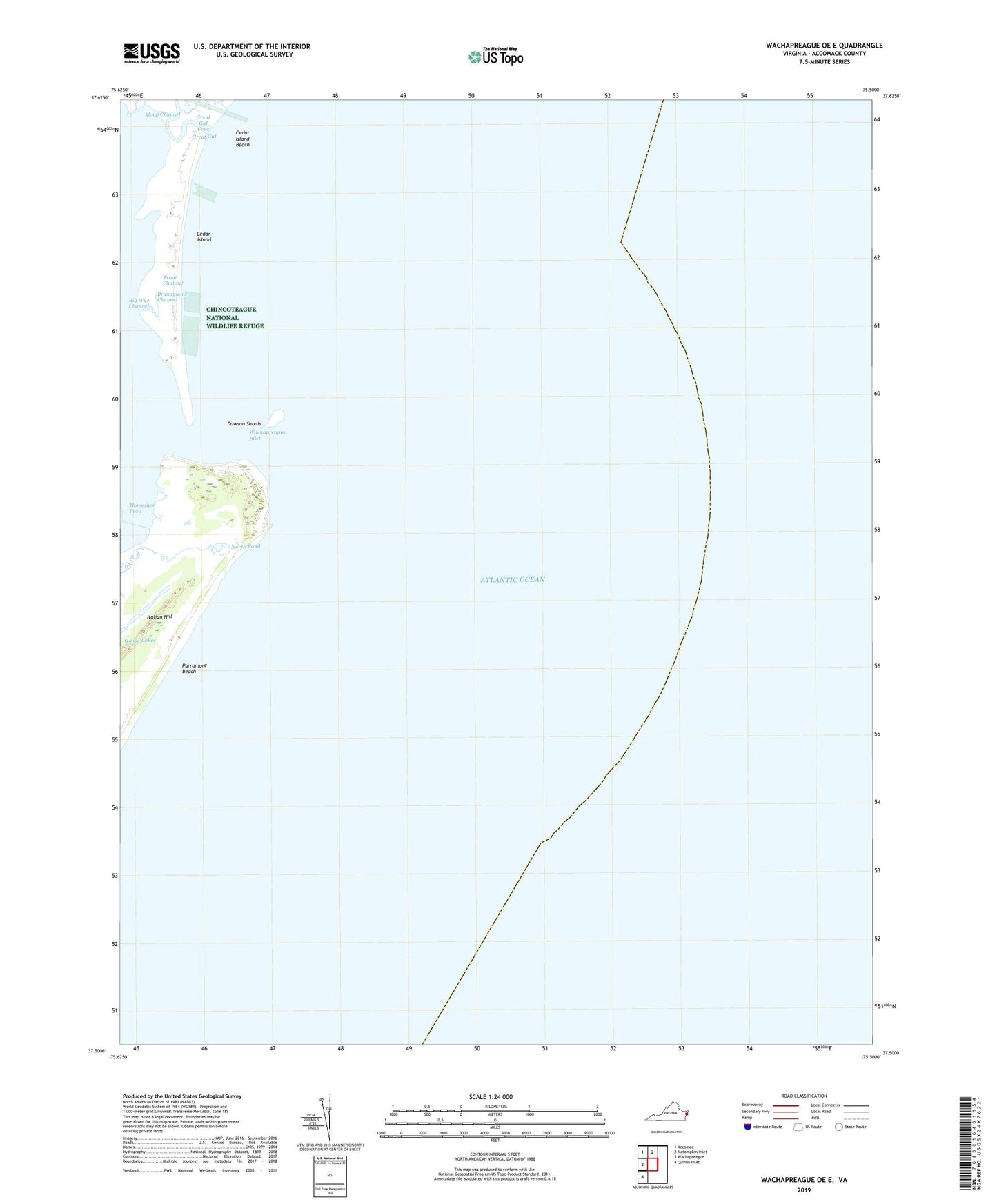
2022 topographic map quadrangle Wachapreague OE E in the state of Virginia. Scale: 1:24000. Based on the newly updated USGS 7.5' US Topo map series, this map is in the following counties: Accomack. The map contains contour data, water features, and other items you are used to seeing on USGS maps, but also has updated roads and other features. This is the next generation of topographic maps. Printed on high-quality waterproof paper with UV fade-resistant inks.
Quads adjacent to this one:
West: Wachapreague
Northwest: Accomac
North: Metompkin Inlet
Southwest: Quinby Inlet
Contains the following named places: Big Wye Channel, Brandywine Channel, Dawson Shoals, Goose Lakes, Great Gut, Great Gut Cove, Horseshoe Lead, Horseshoe Pond, Italian Hill, North Pond, Parramore Beach, Trout Channel, Wachapreague Inlet